


 Country:

 City:
City:


Park at the entrance to the hamlet of Les Gourniers, just before the bridge.
(S/E) Cross the bridge over the Torrent de Réallon and continue to the junction.
(1) Do not enter the hamlet; instead, take the road leading uphill towards Les Ollieux and Les Tomelles. Follow signs for Col de la Coupa.
(2) Leave the road and take the narrower path which climbs to the right for about 300 metres. Follow signs for Col de la Coupa. You’ll come to a fork in the path.
(3) Take the path on the left, which climbs to the Col de la Gardette.
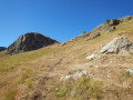
(4) At elevation 1947 on the IGN map, there is a junction of four paths (see photo). Take the narrow track branching off to the right, staying roughly on the same contour line. Barely visible at first, but better marked further on, it leads out onto a large plateau at the foot of the Col de la Coupa. This path crosses a cattle paddock; please remember to close the gate behind you.
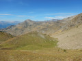
(5) When you reach the plateau, check whether you can see Libouse’s herd or not. If the way is clear, cross the plateau to join the cairn-marked and signposted path.
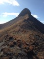
(6) Turn left onto the path that climbs to the pass. The final 300 metres of ascent are very steep! If the herd is present, go round it, following the shepherd’s instructions. Continue to the Col de la Coupa.
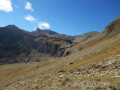
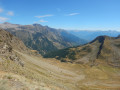
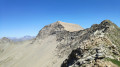
(7) At the pass, take in the beautiful views of both Ancelle to the north and Réallon to the south. You can descend a little way behind the pass to shelter from the wind! Retrace your steps.
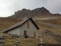
(6) On the way back, keep left on the main path, which passes close to the Cabane du Vallon and descends overlooking the Torrent de la Gorge.
(8) Ignore the private track on the left leading to the shepherd’s hut. Continue straight ahead for about 150 metres until you reach an unmarked junction.
(9) Ignore the small cairn-marked path branching off to the right and take the wider track leading down straight ahead. It crosses the stream several times by fording. After a short stretch through the woods, rejoin the path you took on the way up.
(3) Carry on straight ahead and, following the route back in the opposite direction to the outward journey, return to the car park at the entrance to the hamlet of Les Gourniers (S/E).
 Visorando Member
 Moderate
 Very difficult
  National Park
 Extremely difficult
