Country:

 City:
City:



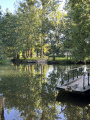
Park in the car park of the village hall on Route de Niort, on the right as you come from Niort. ‘A small open space with a bench under an umbrella pine’
(You can also park in the church car park, which is on the walking route)
(S/E) Return to the Route de Niort and head right towards the centre of Sciecq (water tower).
After a right-hand bend, leave the road (which becomes Rue des Trois Moulins) by turning into the second street on the left (Rue de l’Église).
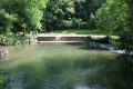
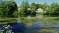
Go round the church on the left. At the bend, go straight down the steps towards the fountain and washhouse. (Concrete path, but slippery in wet weather.) At the bottom, by the washhouse, turn right and head for the boat shelter. Follow the Sèvre river to the chain ferry 50 metres away.
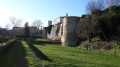
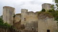
(1) Carefully cross the Sèvre Niortaise using the chain ferry (max. 6 people). Continue along the path (with a view of the castle on the right) to reach the small road leading to the Château de Mursay. Walk up the hill and continue to the right along Rue de Mursay. Further on, ignore the road branching off to the left. A dead-end on the right (off the route) leads to a wash house that has been converted into a boathouse. After the bend, turn right onto Rue du Perrot, following theGR®®36.
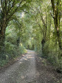
(2) After the last house, the street becomes a grassy path overlooking the River Sèvre, which is hidden by very dense vegetation for over 1 km, with fields of cereals on the left.
(3) Turn right onto the road. Walk carefully along the road. After the Petit Chauveux farm, take the short cycle path to the left of the road.
(4) Cross the road carefully and continue straight ahead on the Chemin de la Chauveux cycle path.
This path overlooks the River Sèvre, which you can just make out through the vegetation. Pass under the two high-voltage power lines before reaching the village of Surimeau.
(5) Turn left at the junction onto Rue de la Berlandière, then right onto Rue Claude Debussy and, a little further on, left into the Arthur Henneger cul-de-sac. At the end, continue for 50 metres along the path which joins the Chemin de la Berlandière. Take this to the right, then turn left onto the road closed to traffic, heading down to Rue du Bas Surimeau. Note a washhouse on the right and continue straight up the hill to the Moulin d’Âne.
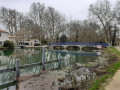
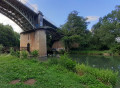
(6) Turn right onto Rue du Moulin d’Âne and head down towards the river. Cross the bridge (view of the Moulin d’Âne and magnificent bald cypress trees at the end of the bridge)
(7) Turn right onto Chemin des Pêcheurs, lined on the right by a few fishermen’s huts, most of which are abandoned. Note the lush vegetation of the steep Bois des Touches on the left.
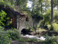
The path leads to the ruined Moulin de Compéré, which is fenced off and closed to the public as it is dangerous. Turn left and head up a recently paved lane to reach the Chemin de Compèré.
(8) Turn right. At this point, you can continue straight on, off the route, to reach the Château de Chantemerle further up on the left. When you reach the Chemin de la Plaine, continue straight on, passing under the two high-voltage power lines. In Sciecq, ignore the street leading off to the left and take the Rue de Salboeuf towards the centre. Continue for 200 m.
(9) Turn left onto the tree-lined footpath for 50 m, then turn left and immediately right into the lane running alongside a house. At the end, turn right to arrive behind the village hall; go round the back of it to return to point (S/E)




 Association / Club / Walk leader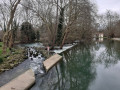

 Moderate
 Visorando Member