


 Country:

 City:


To reach the car park for the walk, after Verclause, drive through the village of Montferrand-La Fare (ignore the road to Lemps). Continue to the car park situated in front of the entrance to the Chèvre Verte lodge.
(S/E) From the small Viarrands car park, head south-east and follow theGR®91path uphill towards the Croix de Roussieux on the Clavelière.
(1) At the Auches signpost, turn right onto the GR®91 path climbing towards the Col de Corbières and La Vanige.
(2) At the Col de Corbières signpost, continue along theGR®91path.
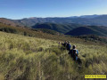
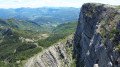
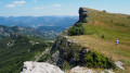
(3) Leave theGR®91via the path on the right, marked in yellow, towards La Vanige. The climb to the summit is very steep (Effort 5) with gradients of over 20 per cent but without any particular difficulty (E5 T1 R2).
(4) From the summit, follow the path along the ridge to its end.
(5) Then continue the descent to the left, on the western slope, towards the Rocher Percé.
(6) At the end of the descent through the undergrowth, at the foot of Rocher Percé, take the path on the left towards the pass. Pass the source of the Ennuyé, continue along the path, then take the track on the left.
(7) At the Corbières signpost, head east along the yellow-marked path leading to the Col de Haute-Huche and the Croix de Roussieux. You will come to a junction you passed on the way there.
(3) Stay on this path as it climbs up to the Clavelière ridge.
(8) At Front Froide, follow the path to the right towards the pass.
(9) At the Col de Haute-Huche signpost, continue along the ridge path to the left, leading to La Clavelière.
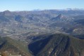
(10) Take in the 360° panoramic view towards the Rosannais and Mont Ventoux, then continue towards the Croix de Roussieux.
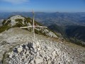
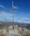
(11) At the Croix de Roussieux, descend via the north-facing path marked in yellow (former route 97, which runs alongside route 98).
(12) Take the path on the left towards the Rocher Blanc. Continue through the woods along this yellow-marked track.
(13) Continue along the path to the right, which soon turns westwards.
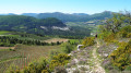
(14) Continue along the yellow-marked path. Over a distance of about 2.5 km, there is a succession of descents and fairly steep but short climbs, followed by an easy section above a collapsed ravine.
(15) At the hamlet of Les Turcs, continue westwards. At the Les Turcs signpost, keep slightly to the left along the path passing beneath the hamlet. The route is no longer signposted.
(16) Follow this path to the Auches junction.
(1) Carry on straight ahead and, following the path you took on the way there but in the opposite direction, reach the Viarrands car park (S/E).

 Visorando Member

 Moderate
 Very difficult

