La Grande Brumardière

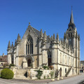
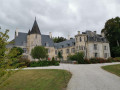
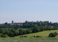
Route starting from Saint-Barthélémy Church. You can explore the avenue of plane trees and the Manoir de la Pellonnière, part of the old railway line, the Jeandotterie Bridge, the countryside and the Château de la Courtinière. The route can be covered on foot or by mountain bike.

Details

4581370
Creation:
Last update:
Last review:
  • Walking
    Activity: Walking
  • ↔
    Distance: 3.64 mi
  • ◔
    Average duration: 1h 45 
  • ▲
    Difficulty: Easy

  • ⚐
    Back to start: Yes
  • ↗
    Ascent: + 56 ft
  • ↘
    Descent: - 56 ft

  • ▲
    Highest point: 581 ft
  • ▼
    Lowest point: 512 ft

Photos

Description of the walk

Park at Place Robert Drouin.

(S/E) Walk past the church on your left, turn right onto Rue de la Herse, then take a quick right-left turn to join Allée de la Pellonnière.

(1) At the crossroads, an old railway line, turn left to join the D630.

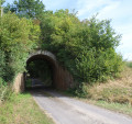
(2) Head right towards Bas Val. Ignore the access road to La Porte on your right, then the one on your left towards La Jandotterie – where you can see the old railway bridge – and continue until you reach a four-way junction.

(3) Turn right onto the Grand Bois Picard country lane, which is tarmacked and then gravelled, until you reach the edge of a field.

(4) Follow the grassy path to the right – which is sometimes damp – and head towards La Grande Brumardière.

(5) At the end of the track, turn right, walk alongside the field and pass in front of the house. Then continue along a dirt track lined with oak and beech trees, and join the tarmac road known as the Miottière.

(6) Carry on to the left to reach the D256 at La Courtinière. Turn right and walk along the road with care. At the care home, cross at the pedestrian crossing to take Rue de la Cour au Bourg on the left, which leads onto the D938, Rue de Montgacel.

Turn right, then right again onto Place Robert Drouin to return to the starting point (S/E).

Waypoints

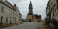
  1. S/E : mi 0 - alt. 525 ft - Place Robert Drouin - Église Saint-Barthélémy (Le Pin-la-Garenne)
  2. 1 : mi 0.27 - alt. 531 ft - Old railway line
  3. 2 : mi 0.41 - alt. 531 ft - The Lower Valley
  4. 3 : mi 1.24 - alt. 551 ft - Junction, on the right
  5. 4 : mi 1.66 - alt. 558 ft - La Grande Brumardière – Crossroads
  6. 5 : mi 2 - alt. 577 ft - La Grande Brumardière
  7. 6 : mi 2.68 - alt. 561 ft - La Miottière
  8. S/E : mi 3.64 - alt. 525 ft - Place Robert Drouin - Église Saint-Barthélémy (Le Pin-la-Garenne)

Notes

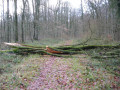
Condition: fairly good, with a damp section between the Grand Bois Picard and the Grande Brumardière.
Terrain: roads and dirt tracks.

Worth a visit

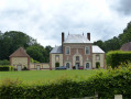
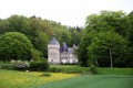
La Pellonière Manor and Le Colombier.
The Jeandotterie Bridge.
Le Courtinière Castle.

Reviews and comments

4.3 / 5
Based on 2 reviews

Reliability of the description
4.5 / 5
Ease of following the route
4.5 / 5
Route interest
4 / 5
kimNBC
kimNBC
• Edited:

Overall rating : 4.3 / 5

Date of your route : Jun 01, 2026
Reliability of the description : ★★★★☆ Good
Ease of following the route : ★★★★★ Very good
Route interest : ★★★★☆ Good
Very busy route : No

It’s a shame that the route is on tarmac from marker 1 to 4, but after that it’s lovely and quiet. We were even lucky enough to spot a fox in the middle of the afternoon.

Machine-translated

Orphéus
Orphéus

Overall rating : 4.3 / 5

Date of your route : Aug 07, 2023
Reliability of the description : ★★★★★ Very good
Ease of following the route : ★★★★☆ Good
Route interest : ★★★★☆ Good
Very busy route : No

A lovely walk, though it was a bit tricky to follow the path in places as the vegetation has taken over… and made the route disappear…

Machine-translated

Other walks in the area

For more walks, use our search engine .

The GPS track and description are the property of this route's author. Please do not copy them without permission.