Country:

 City:
City:


Park along the Route de l’Authion, at the entrance to the village of Peïra-Cava.
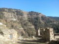
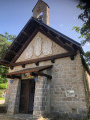
(S/E) From the car park, take the Route de l’Authion southwards for about a hundred metres to the crossroads where marker 37 is located. Turn left onto the Route de la Chapelle, heading towards Cime du Pra de la Court. It’s well worth stopping to visit the Notre-Dame des Neiges Chapel.
Continue on to the crossroads and marker 39.
(1) Opposite the outdoor playground, turn left onto Boulevard des Mélèzes, heading towards Cime de Peïra Cava. At the first junction at marker 38, turn right onto Boulevard Supérieur towards Cime de Peïra Cava and follow the tarmac road until you reach the hairpin bend to the right.
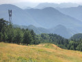
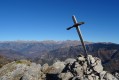
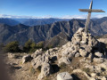
(2) At this bend, leave the road and take the path opposite, which climbs through a recently planted area of conifers. The path climbs and passes to the left of a telecommunications mast to reach the Cime de Peïra Cava at an elevation of 1,581 metres. Surprisingly, the marker bears the number 38; this is a marking error.
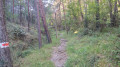
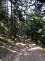
(3) Turn left, heading due north, onto the descending path through a forest of pines and larch trees until you reach the junction at a place called Baisse de Peïra Cava and marker 179 at an elevation of 1,506.
(4) Turn sharply left, heading south towards Peïra Cava (direct route). Further on, the path approaches the Route de l’Authion, with a car park below.
(5) Do not head down towards the road but continue to the left, running parallel to it. Pass the house on the left and take the path, which immediately becomes a tarmac road known as Boulevard Inférieur.
At the next junction, where there is a memorial stone, turn right and head back down towards the village of Peïra Cava and the Route de l’Authion (S/E).



 Visorando Member
 Difficult
 Association / Club / Walk leader