Country:

 City:
City:


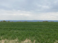
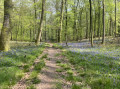
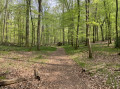
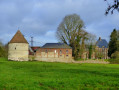
Start from the car park at Lalandelle church. Information board describing the walk. Please note: follow the yellow markings (not blue as indicated on the sign).
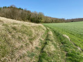
(S/E) Take the small road leading down to the left of the sign, then turn immediately right. The path descends gently between fields in the “Grande Vallée” to reach the Forest of Thelle. Pass a path on the right and continue to the crossroads.
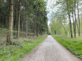
(1) At the junction of wide tracks, take the one on the right which climbs into the forest. Join the Route de Dourlens.
(2) At the bottom of a slope, take a small path on the right. There are several fallen trees across the path; step over them. Join the Route du Coudray on the left.
(3) When you reach the Saint-Germer crossroads, take the second track on the left, the Route des Routis. Carry on straight ahead along the track, which turns into a footpath.
(4) At the bottom, take the path on the left. Continue along this path, keeping to the edge of the forest, until you reach the Carrefour des Sapins.
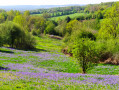
(5) At the crossroads, take the track on the left, which stays in the Vallée Surelle, deep within the Forêt de Thelle. Continue north-east to the central point of the circular route.
(1) Keep to the right and take the track, then the road that climbs.
(6) When you reach the hamlet of La Petite Landelle, take the road on the right, then the first path on the left. Carry on straight ahead and cross a road.
(7) Take the track on the left. 50 metres past a closed gate, turn right. Keep to the left and rejoin the road at the hamlet of Le Trou Jumel. Turn left onto the D129 for about thirty metres.
(8) Turn right. Leave the hamlet (water tower), at elevation 229, and leave the road by continuing straight on along a wide track through the fields, passing under a power line. The track turns left, then reaches a junction with a road.
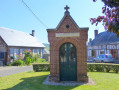
(9) Turn left onto the road towards Lalandelle. Join the D22. Turn left, then right to return to the starting point at the foot of the church (S/E).

 Visorando Member
 Easy
Easy