Country:

 City:
City:


Car park at the Araules community hall.
(S/E) Walk up towards the church and take Route de Courcoules to the right. Start walking alongside the cemetery.
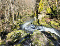
(1) Head down to the right towards the last house below. The path resumes 30 metres to the left. Follow this path as it winds its way down towards an old ruined mill.
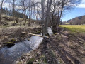
(2) Continue northwards across the fern-covered moorland, on level ground, running parallel to the stream until you reach the edge of the woodland, where the path becomes more visible. Follow the ribbons tied to the branches and the notches cut into the branches. The path does not always run alongside the Auze, depending on the obstacles to be crossed.
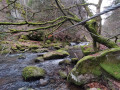
(3) After passing over the narrowest point of the gorges, head back down towards the Auze until you reach the cable that helps you cross via three rock ledges. Alternatively, without crossing at this point, you can continue on to Vareilles, about 1 km away, to take the bridge and head up to the right towards La Rochette. Continue along the other bank heading north for 200 m.
(4) Leave the path you have been following and take the one that climbs steeply to the right. Climb until you rejoin the path coming from Vareilles, then turn right towards La Rochette, where you will rejoin the Way of St James.
(5) Go straight on, cross the D18 with care, then turn right. Further on, keep going straight, leaving the Bruyère buildings on your left, and rejoin the departmental road.
(6) Cross the D18 with care, staying on the Way of St James, which follows the road. After about 500 m, at the sewage treatment plant, leave the road and take a path on the left. Cross the D18 again and turn right onto Rue de la Grande Charreyre to return to the car park (S/E).

 Visorando Member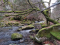


 Difficult
 Easy
Easy