


Departure from the village of Les Ferres: park in the first car park near the inn. Your car will be in the shade and you will have a first view of the village of Conségudes in the distance.
(S/E) Take the stairs opposite the car park to climb to the top of the village (a sign indicates the direction). Turn left at the hairpin bend, then right. Pass under the upper car park and take Rue François Emeric towards the Saint-Julie Chapel.
(1) At the chapel, continue climbing (north-east) to reach the Saint-Joseph Oratory on the ridge.
(2) Take the path on the left. This path is shaded by undergrowth and is not difficult. Heading generally west, it crosses the northern slope of the Grande Auzière and passes at the foot of Mont Saint-Michel.
(3) At marker 120, turn right. Descend the steep switchbacks. Pass in front of a ruin. Reach the Pegière stream and ford it.
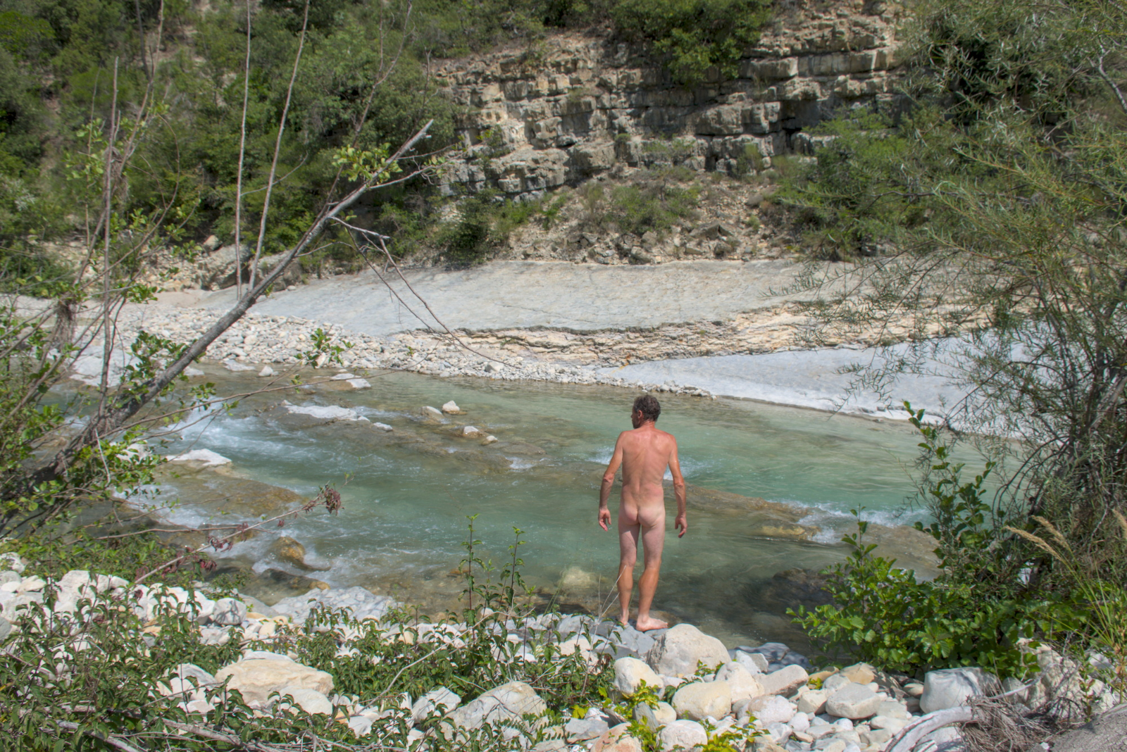
(4) Option: for added enjoyment, take a short detour to the right to reach the banks of the Estéron.
Otherwise: take the path that climbs to the left. The slope becomes steep, the path winds several times and then crosses in a west-southwest direction.
(5) At the fork, take the path climbing to the left. Turn left and pass close to the Oratoire Saint-Jean. Then turn right and immediately take the leftmost path, which is almost horizontal.
(6) Cross a track and continue along the path downhill. You will reach the village of Conségudes.
(7) Option: you can continue straight on to the town hall (there are benches in the shade on the square) and walk around the village (not marked), then return to this junction.
Otherwise: descend, turning left if coming directly from the Oratoire Saint-Jean, turning right if returning from the village. At the crossroads, turn left at an acute angle and follow a sign for "Les Ferres". At the fork between numbers 12 and 14, turn right. When the lane turns left, take a path on the right.
(8) Continue straight ahead until you reach a wash house. Retrace your steps, then turn left and follow a barely visible grassy path. Continue through the undergrowth until you reach the Ruisseau de la Pégière stream. Cross the stream.
(9) On the other side, turn left. Head generally eastwards, descending. Pass two thalwegs.
(10) Reach the Chêne de Pascaline (a remarkable tree around 400 years old). Continue along the path towards the east.
(11) After about 250 m, at an elevation of 478 m, turn right. At the next intersection, turn left (leaving the path on your right).
(12) Join a marked path and continue straight ahead (east).
(13) Join the D 1 road and follow it to the left, continuing straight ahead.
(14) At Col des Ferres, pass the cemetery, ignore thefirst road on the left leading to Chapelle Saint-Valentin and immediately take thesecond road on the left, uphill. This will take you back to the car park where you started (S/E).


 Marker 120 missing! The ford to be crossed has been "modified" following Storm Alex!


