In the forest between Mailly and Verzenay

This hike begins in the Champagne hills and gradually descends into the heart of the Montagne de Reims forest via some very pleasant trails. The end of the route descends from the forest plateau to finish on the old CBR (Chemin de la Banlieue Rémoise) with a lovely view of the village of Verzenay and its hillsides.

Details

249126
Creation:
Last update:
Last review:
  • Walking
    Activity: Walking
  • ↔
    Distance: 11.20 km
  • ◔
    Average duration: 3h 40 
  • ▲
    Difficulty: Moderate

  • ⚐
    Back to start: Yes
  • ↗
    Ascent: + 151 m
  • ↘
    Descent: - 149 m

  • ▲
    Highest point: 287 m
  • ▼
    Lowest point: 168 m

Photos

Description of the walk

Park at the Moulin de Verzenay.

(S/E) Cross the D26 to rejoin theGR®141(white and red markings) and follow it to the right towards Mailly-Champagne, which you will cross.

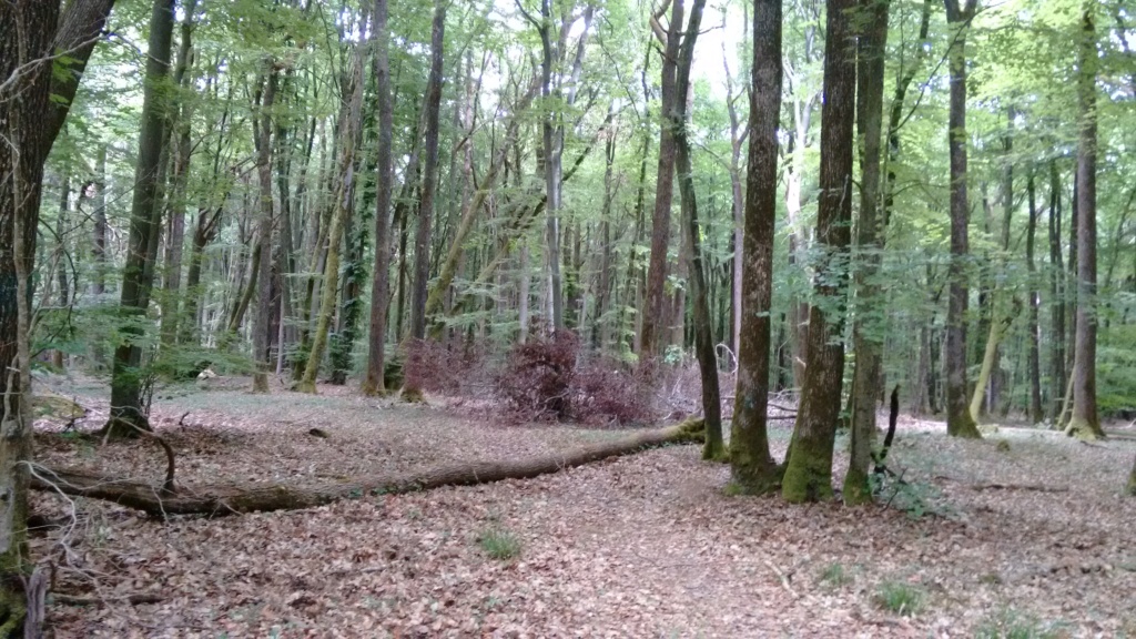
(1) At the star-shaped crossroads, continue left on theGR® heading south until you reach the forest plateau above Mailly, where you will come to another crossroads.

(2) Leave theGR® and continue on the path opposite for about 1.5 km, ignoring the paths on the right and left.

(3) At the lowest point of the path, turn left and follow the path which gradually climbs to a plateau.

(4) Turn right and follow the path for 250 metres, then turn left onto the single track (mountain bike trail). Walk for about 2 kilometres, first heading north-east then south-east, until you reach a forest road.

(5) Turn left and continue straight ahead until you reach a barrier. Continue for about 200 metres to reach a junction.

(6) Turn left towards the Verzenay tree-top adventure park.

(7) In front of the tree-top adventure park, turn onto the path on the right, then turn left 150 metres further on to descend from the Montagne de Reims plateau to below the Verzenay football pitch.

(8) Turn left. Keep level on the old CBR (do not follow theGR®). Continue straight ahead until you reach the highest housing estate in Verzenay, where the old railway station is located.

(9) At the hairpin bend, continue straight ahead on theGR® trail, which will take you back to the starting point (S/E).

Waypoints

  1. S/E : km 0 - alt. 213 m - Verzenay Mill
  2. 1 : km 2.14 - alt. 183 m - Continuation of the GR heading south
  3. 2 : km 2.96 - alt. 261 m - Continue straight ahead, leaving the GR®
  4. 3 : km 4.05 - alt. 225 m - On the left, at the lowest point
  5. 4 : km 4.97 - alt. 280 m - Mountain bike trail
  6. 5 : km 6.73 - alt. 276 m - Forest road on the left
  7. 6 : km 8.3 - alt. 275 m - Head towards the tree-top adventure park
  8. 7 : km 8.74 - alt. 278 m - Tree climbing park
  9. 8 : km 9.58 - alt. 224 m - Turn left as you leave the GR®
  10. 9 : km 10.48 - alt. 216 m - GR654 junction
  11. S/E : km 11.2 - alt. 213 m - Verzenay Mill

Worth a visit

Vineyard Museum at the Verzenay Lighthouse.

 Always be cautious and plan ahead when you're outdoors. Visorando and the author of this route cannot be held responsible for any accidents occurring on this route.

The GR® and PR® markings are the intellectual property of the Fédération Française de Randonnée Pédestre.

Reviews and comments

3.9 / 5
Based on 27 reviews

Reliability of the description
3.5 / 5
Ease of following the route
3.9 / 5
Route interest
4.3 / 5
Cat51
Cat51

Overall rating : 3.7 / 5

Date of your route : Jul 14, 2024
Reliability of the description : ★★★★☆ Good
Ease of following the route : ★★★☆☆ Average
Route interest : ★★★★☆ Good
Very busy route : No

Due to heavy rainfall since spring, the very loose and muddy paths were badly damaged by log transport vehicles (there was a lot of logging!). We had to regularly stray from the trail to continue. At the end of the route (between 8 and 9), branches were deliberately placed on the path for several dozen metres 
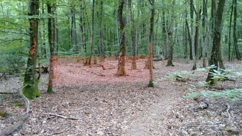
, so you have to go around them.
But the walk is VERY pleasant!

Machine-translated

PasN@th18
PasN@th18

Overall rating : 2.3 / 5

Date of your route : Jul 22, 2024
Reliability of the description : ★★☆☆☆ Disappointing
Ease of following the route : ★★☆☆☆ Disappointing
Route interest : ★★★☆☆ Average
Very busy route : No

The start of the hike does not present any particular problems, but then fallen trees on the path make it difficult to follow; without the GPS track, we would not have been able to follow the route.

Machine-translated

anouck.vaillant
anouck.vaillant

Overall rating : 4.7 / 5

Date of your route : Jan 01, 2024
Reliability of the description : ★★★★★ Very good
Ease of following the route : ★★★★☆ Good
Route interest : ★★★★★ Very good
Very busy route : No

A beautiful hike in the Reims mountains. Very muddy paths, so wear suitable footwear.

Machine-translated

virgule
virgule

Hello,

there are new statues at the bottom of the Mailly nature trail.

Machine-translated

virgule
virgule

I'll pass it on. This route goes through private woods that are now off-limits. See previous comments.

Machine-translated

eric51420
eric51420

Overall rating : 4.3 / 5

Date of your route : Sep 12, 2022
Reliability of the description : ★★★★★ Very good
Ease of following the route : ★★★☆☆ Average
Route interest : ★★★★★ Very good
Very busy route : No

very good, but signage is lacking in some places

Machine-translated

virgule
virgule
• Edited:

I took a walk there today. Actually, the path you didn't see does exist, but it's blocked by a tree lying across the ground and another tree with dry leaves a little further on. It's not a coincidence; it's so that no one can pass.

In the photo:

https://i.servimg.com/u/f68/11/67/96/17/...

If you go past it, a few hundred metres further on you come to a much more explicit orange barrier that says "private property", but in the opposite direction to the circuit. You realise that you are leaving a private area when you turn around.

https://i.servimg.com/u/f68/11/67/96/17/...

In short, the owner no longer wants us to pass through there.

Here is a link to my route. In (1) you can see the junction you didn't see, which is blocked by a tree (1st photo). In (2) the barrier that says "Private", in the opposite direction to the circuit. It blocks the path in an east-west direction, whereas the circuit runs from west to east. It was placed there to prevent mountain bikes coming from the east from passing through. So anyone following this circuit only sees the barrier when leaving the restricted area and can claim good faith.

https://www.visorando.com/randonnee-/221...

Recently, I have seen several barriers of this type appear. I even had to remove one of my routes from Visorando. What was possible a few years ago is no longer possible now that many more people are travelling in the countryside.

I think we should no longer offer routes without being certain that they are on public land. Ultimately, by opening these paths to all internet users, the result is that no one will be able to go there anymore.

Machine-translated

virgule
virgule

I will go back and check. If mountain bikes no longer pass through there, it is possible that the path has disappeared.

Point 3 was difficult to see a few years ago, but forestry work has cleared the path. It is now easy to spot.

I will keep you informed. I think the author of the circuit has not been back to the site for a long time.

Machine-translated

clairetho
clairetho

I had my phone and the map. This allowed us to easily find point 3, which many people have trouble locating. However, I knew exactly where this famous little path should be, thanks to my phone, but it doesn't exist... Wandering into the woods at random? No, thank you...

Machine-translated

virgule
virgule

Hello,

this isn't my route, but I've followed it many times because you're sure to be alone in the world there. And the reason why it's so peaceful is precisely because the trails are neither GR nor PR, and they are barely marked. All it takes is some forestry work or a fallen tree to lose the trail.

As mentioned above many times, without the app, even someone who can read a map won't be able to find their way. No map, however detailed, can solve the problem of fluctuating trails.

I know that Visorando's policy is to request maps that can be followed to the letter. But the Montagne de Reims is not the Vosges. Marked trails are rare. We may regret this or welcome it but we cannot change it.

Machine-translated

clairetho
clairetho

Overall rating : 2.7 / 5

Date of your route : May 19, 2022
Reliability of the description : ★☆☆☆☆ Very disappointing
Ease of following the route : ★★★★☆ Good
Route interest : ★★★☆☆ Average
Very busy route : No

I did this hike. However, several paths indicated on the guide map do not exist. They are nowhere to be found. This includes the mountain bike trail located about 250 metres after marker number 4. It is completely invisible. So we decided to take the small black dotted path a little further on, which makes a hairpin bend to rejoin the circuit. This path also did not exist.
Would it be possible for you to check this circuit? It is very frustrating to follow a guidebook and not be able to complete the entire circuit.
We were forced to retrace our steps and go home... It's a real shame.
Will you reply?

Claire Thomas

Machine-translated

Claude L2.
Claude L2.

Overall rating : 4.3 / 5

Date of your route : Feb 23, 2022
Reliability of the description : ★★★★☆ Good
Ease of following the route : ★★★★☆ Good
Route interest : ★★★★★ Very good
Very busy route : No

A beautiful, varied walk with the northern part more open and the southern part in the forest.

It would be a shame not to take advantage of this opportunity to extend the loop by a few kilometres and visit Les Faux de Verzy and the Mont Sinaï observatory. This is what I did by turning right at the first path after the point (5), which leads to the Parking des Pins, and rejoining the route at the point (6) via the Faux walk, the St-Basle chapel and the Mont Sinaï observatory

Machine-translated

virgule
virgule

Hello Frog51

The forestry workers removed my marker and the tree it was attached to. But now you can see the path clearly.

The app is very useful from point 3 onwards.

Machine-translated

frog51
frog51

Overall rating : 4.7 / 5

Date of your route : Aug 02, 2020
Reliability of the description : ★★★★☆ Good
Ease of following the route : ★★★★★ Very good
Route interest : ★★★★★ Very good
Very busy route : No

Hello,
A beautiful hike, very cool, especially in hot weather, but certainly muddy in winter due to machinery that has damaged the trails. We walk along wooded trails that are rarely used (apart from a few mountain bikers) and leave aside the larger forest paths that are busier and warmer.

I didn't see the marker at point 3, but with the map and the app, it was no problem.
At point 7, I hesitated because the path on the right was "hidden" by the cars parked in the car park.

The Verzenay mill in its setting is as magical as ever!

Thank you

Machine-translated

virgule
virgule

I went back there today. My yellow marker is no longer there because there has been some forestry work. The barely visible path has been used by tractors, so it is easy to spot (point (3)). But the place has lost some of its charm...

Machine-translated

Other walks in the area

For more walks, use our search engine .

The GPS track and description are the property of this route's author. Please do not copy them without permission.