Country:

 City:
City:


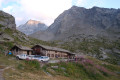
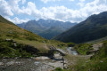
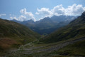
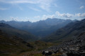
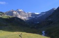
(S) From the Refuge de l’Archeboc, head east-southeast towards the Col du Mont. Climb steadily for a long time, with hairpin bends of varying tightness depending on the section. You’ll reach the Col du Mont (French-Italian border; magnificent views on both sides).
(1) Descend on the other side, towards the south-east, following route no. 13. Head north-north-east to descend to a torrent.
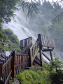
(2) Cross the lovely bridge over the stream and head back up the other side.
(3) Join a track and follow it to the right, heading downhill (you can buy cheese at an alpine chalet by the track).
(4) At a place called Grandalpe, leave the track and Route 13 by turning right at a hairpin bend. Cross the stream again and complete the descent through woodland that is at times quite dense. After numerous hairpin bends, reach a car park at the bottom of the valley at a place called Surrier.
(5) Turn right onto a track heading towards the Mario Bezzi Refuge (there’sa small bar open here).
(6) Leave the main track and take a sharp left-hand bend towards the Chalet de l’Epée. Follow Route 9A, which is well signposted throughout by several signs and markers. At two successive but widely spaced Forks in the road, keep to the right.
(7) Shortly after the second Fork in the road, near the hamlet of Arolla, leave the track and take a path that climbs to the right towards the Chalet de l’Épée. Climb through the forest, following a series of bends. Join a track, follow it to the left, cross a stream and you will soon reach a junction.
(8) Continue the ascent, heading east-north-east then north-east.
(9) Come out onto the panoramic path and follow it to the left, heading due north. Climb gently and ignore the offshoots to the left. Cross a torrent and you’ll soon reach the Chalet de l’Épée mountain refuge (E).
 Visorando Member
 Moderate
  Association / Club / Walk leader
 Very difficult