Country:
 City:
City:


GR®34, signposted in red and white
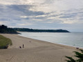
The route starts from the car park on the eastern side of the beach, at the foot of the Pointe du Nid hills.
(S/E) Head north-east along the GR®34 marked trail. Continue past Pointe du Nid to reach the car park at Plage du Petit Port.
(1) Continue along the coast, passing Pointe des Daules (you can make a short detour to see the old guard post) and head down towards Plage du Verger.
(2) Carry on along the path beside the car park. It becomes sandy as you leave the car park. Continue to a four-way junction.
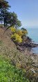
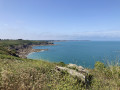
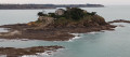
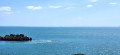
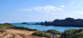
(3) Turn onto the path furthest to the left and follow the coastline to Pointe de la Moulière. There’s a lovely view of the beaches and the islands off the coast of Saint-Malo.
(4) In clear weather, you can see Cap Fréhel, far to the west. Return to the path heading south-east.
(5) Do not head towards the beach, unless you’re stopping for a break. Carry on straight ahead along the path that runs alongside the rocky coastline.
(6) At Pointe de Rochefroide, carry on along the path.
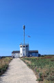
(7) Join the signposted path and head towards the semaphore. Walk past it to reach the headland. Do not go beyond the signposted area.
(8) You’ll arrive at the viewing platform at Pointe du Grouin. Follow the route in the opposite direction to return to the car park where you started (S/E).

 Visorando Member
 Easy
Easy 
 Association / Club / Walk leader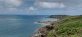
 Moderate