Country:

 City:
City:


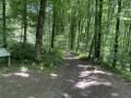
Start at the Anor Tourist Information Centre, Rue du Général de Gaulle.
(S/E) Head up Rue du Général de Gaulle on the right, then continue along Rue de Momignies. Walk past the cemetery
(1) Turn left, then keep to the right at the Fork in the road to follow Rue des Anorelles, a small, winding road through the bocage. Head west-north-west.
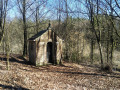
(2) When you reach a wayside shrine, turn left onto Rue de la Galoperie. Cross the Ruisseau des Anorelles and head towards the Étang de la Galoperie.
(3) At La Galoperie, turn right, then pass a street on your left.
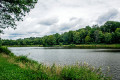
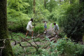
(4) Take a forest path on the right. Walk along the pond on a small, winding path, continuing straight on until you reach a blockhouse and, a little further on, the border markers.
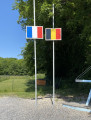
(5) Cross into Belgium. Follow Rue de la Pilerie.
(6) Turn left onto La Bretèque, then immediately right onto the forest track. Follow the Belgian signposts (Blue Diamond). Walk through the forest.
(7) At the edge of the forest, turn right onto Trieu Bayard. Leave the road on your left (leaving the Belgian signposting) and head straight ahead, then quickly turn right onto Les Aisements. Continue right twice.
(8) Turn left onto Rue de la Pilerie, then right onto Les Chevées.
(9) Turn right onto Rue de Beauwelz, then right again onto Les Culots. Cross a bridge.
(10) Turn right.
(11) Carry on, keeping to the right, along Rue de Beauwelz. When you reach the bridge, cross back into France and you’ll soon come to several ponds.
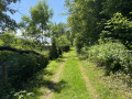
(12) Take the grassy path on the right (GRP® de Pays). The murmur of the Ruisseau des Anorelles will accompany you as far as the Étang de la Galoperie. Turn left onto Rue de la Galoperie.
(2) Turn right into Rue des Anorelles, then right again onto Rue du Pont des Boeufs. At the bend, turn right onto a small wooded path that runs alongside the stream and offers a view of the valley. After the buildings at Pont des Boeufs, continue to the right.
(1) Turn right again to return to the starting point (S/E).



 AONB
AONB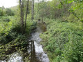

 Visorando Member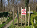
 Difficult
  Easy
Easy