Country:

 City:
City:


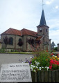
To return to the starting point from Bruyères, head towards Saint-Dié-des-Vosges. At Brouvelieures, follow signs for Rambervillers. Shortly after Brouvelieures, take the first tarmac road with a 50 km/h speed limit. Once you reach Mortagne, first follow signs for Saint-Dié-des-Vosges, then for the town hall and church. Park your car in the car park in front of the church.
Green Ring signposting.
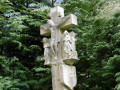
(S/E) As you leave the car park, turn left. Walk past the church and the cemetery, and you’ll come to Calvary 1, notable for its hexagonal shaft. Turn right to reach Bout du Milieu.
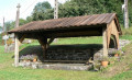
(1) Continue straight on to discover Calvary 2, a renovated wash house, and Calvary 3. At number 19, take the sunken path that climbs to the right.
(2) At the junction of the path and the forest track, turn left.
(3) Then, at Calvary 5, head back down the sunken path which takes you to Bout du Dessus. Once you’re back on the tarmac road, carry on straight ahead.
(4) Turn left onto a dirt track running alongside the last house and at the edge of the forest. Continue through meadows and woodland.
(5) At the junction, turn left and cross a small ford before rejoining the Route Forestière du Vieux Haut, which leads you, to the left, to Bout du Monde. It’s written on the house.
(6) Walk past Calvary 7 and turn left. The road, which is tarmac again, takes you to ‘Bout du Dessous’.
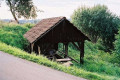
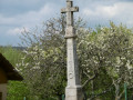
(7) At the junction, don’t miss the wash house and Calvary 8. Head up to the right and discover Calvary 9 nearby (100 m away). Carry on straight ahead and leave the village to discover, a little further on, the White Cross, wayside cross no. 10 (which has lost its colour). Take the C4 road on the left towards the town hall and the church to reach the church (S/E).

 Visorando Member

 Tourist office
 Moderate