Country:
 City:
City:


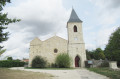
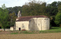
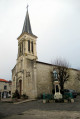
Parking is available at the Cassou church car park.
(S/E) Leaving the car park in front of the church, take the road leading down to the left. After 150 m, turn left onto the Route de Lazigole, then immediately take the road on the left towards La Caminade, following the orange signposts. Continue along the grassy path uphill to the Route de Darel, which you should follow to the right until you reach the crossroads.
(1) Turn left onto the Route de Mérats. Opposite the Mérats farm, turn onto the grassy path leading uphill to the right, marked with green signposts, and follow it to the end.
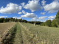
(2) At a small pine copse, turn right between a hedge and a field and carry on to a road at a place called La Tuilerie. Cross the road and head down the grassy path opposite, following the green markings alongside a hedge.
Continue to the Route de Lazigole.
(3) Head left for a good hundred metres, then turn right onto a dirt track along a hedge, following the green signposts. At the end of the track, turn right onto the Route de Rayssac until you reach a small copse on the left. After house no. 3139, take the path on the left at the edge of the copse.
(4) At the end of the copse, take the sharp right-hand bend onto a dirt track signposted in green, cross the copse and come to a road (Chemin de Tabart). Then head left, following the orange signposting. Pass the houses in the hamlet of Tabart and, after house number 3495, continue down the stony, grassy path, following the green signposting. Enter the edge of the woodland, following the green and orange signposting.
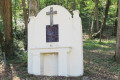
(5) At the three-way junction marked by a wooden cross (not shown on the IGN map), continue to the right, following the green markings, until you reach the junction with the Route de Rayssac.
(6) Cross the road and take the grassy path opposite, to the right of the pumping station. Walk downhill for 100 m, then follow the green-marked path to the left. At a place called Meratou, cross the road and continue straight ahead along the grassy path between a fence and a hedge. Go round the house and continue along the path through the woods, following the green and orange markings, until you reach a clearing.
(7) After 40 m, turn right into the woods via the Chemin Rural de Foussal (signposted), marked with green and orange crosses. This path does not appear on the IGN map. Continue along the descending path to the Route de Cassou. Follow it to the right, go as far as the bus shelter on the left-hand side and continue for about twenty metres.
(8) Cross the bridge over the Mondot and turn left onto the grassy path (not shown on the IGN map), signposted in green. Pass the first houses in the hamlet of Maisonneuve.
(9) At the road, at the Stop sign, turn right. At the four-way junction, go straight on to reach Cassou church (S/E).

 Visorando Member

 Moderate