Country:

 City:
City:


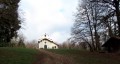
Start from the car park at the town hall and church in Bévenais.
(S/E) Head due east along Rue de la Charrière until you reach the right-hand bend in the road.
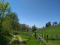
(1) Turn left onto Chemin de la Haute Charrière, a gentle climb, and at the next junction, continue to the right towards the east.
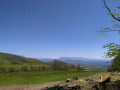
(2) Once at the top, cross the small stretch of woodland by taking the path that branches off to your right. You’ll be treated to your first glimpse of the village and the mountains. As you leave the woodland, take the path up to the left, Chemin des Sources. Then continue straight on along Chemin de la Montagne, and at the next junction, turn left onto Chemin des Châtaignes, continuing uphill until you reach the edge of the woodland.
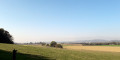
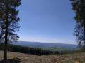
(3) Begin your walk through the forest by taking the path directly in front of you. As you climb, another view of the plain below opens up; enjoy the view. Then, as you continue your ascent, keep going straight on through the forest, ignoring the next paths which branch off first to the right and then to the left. You’ll reach the summit.
(4) Take the hairpin bend to the left towards the south-west and carry on straight ahead. When you reach a path further down, keep to the right and you’ll arrive at the crossroads at Croix de la Grateisse or Gratès.
(5) Head due west again, turning off to your right. Depending on the season, avoid the puddles by taking the small paths through the forest. After a short while, you’ll pass a meadow before reaching another crossroads.
(6) Take the second path on your right, which leads to the electricity pylon further up. At the top, you can see the mountains if you look south-east. Continue your walk in the opposite direction. Ignore the paths branching off to the right and then to the left, and head for the Chapelle de la Salette.
(7) Carry on straight ahead towards the west. Keep going straight ahead as the path begins a gentle descent until you reach another junction.
(8) Keep sharply to the right on the uphill section and carry on straight ahead, once again ignoring the other paths.
(9) There, keep left; you’ll begin a gentle descent. Carry on straight ahead without veering off until you reach the entrance to Longechenal.
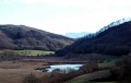
(10) Carry on walking to your left to reach Mont Michenant. You’ll pass the Étang des Vernes and reach the Michenant crossroads.
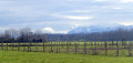
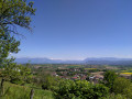
(11) Keep right immediately and carry on straight ahead along the same path heading south-west. You’ll reach a Fork in the road where you can enjoy the sweeping view over the Plaine de Bièvre.
(12) Walk down the Chemin de Montagneux until you reach a junction.
(13) Turn left onto the first gravel track, the Chemin des Sources, to reach the lower part of the village.
(14) Once you reach Route de Bévenais, turn left and finish your walk by continuing straight on to the church and the town hall car park (S/E).

 A lovely route with beautiful views over the Bièvre plain, but there was so much water and mud; in some places the path was completely churned up by loggers, which was a shame. (Note: from point three onwards, ignore the Yellow Crosses and make sure you follow the Viso route) The rest was perfect (not a soul on the route).__
 Visorando Member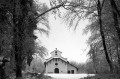

 Easy
Easy