Country:
 City:
City:


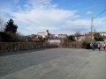
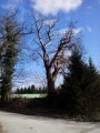
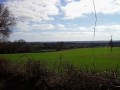
Park on Place de la République, which overlooks the D744 as it passes through the village of Le Busseau.
(S/E) Take Rue du Dolmen and, immediately on the right, the cobbled lane that leads uphill. At the top, turn left then right, and follow Rue de la Mairie on the left for about twenty metres. Turn right to walk past the church and then follow Rue du Plan d’Eau.
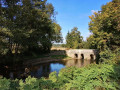
(1) After the bridge, turn right and walk along the water’s edge on the grassy path. At the end, turn left, then right onto the road to reach the Moulin du Roy, about 100 metres further on.
(2) Take the path on the left, then turn right onto the road. Follow the road for about 300 metres and, at the three-way junction, turn right onto the small road which climbs and becomes a track after the right-hand turn-off leading to the Coutancière farm.
(3) Continue straight on along this track for about 2 km until you reach a Fork in the road.
(4) Turn right, then, 200 m further on, turn left. Further on, ignore the track branching off to the left; turn right 100 m after that and carry on straight ahead until you reach a road (a path lined with hedges and/or fences).
(5) At the road, turn right and, 200 m further on, take the path on the right (Les Granges hamlet, the highest point of the walk at 184 m). Carry on to La Baubière, cross the road and continue straight on until you reach the D744.
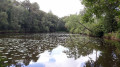
(6) Follow the D744 and take thefirst left, Rue Henri de le Rochejaquelin. Go round the left-hand side of the Touche lake and walk to the road.
(7) Turn right onto the road, walk to the three-way junction (waymarker) and continue to the right for about 100 m.
(8) Take the path on the left and follow it for about 900 m.
(9) Turn right (towards Le Gémond) and head back towards Le Busseau. Walk alongside the cemetery, then cross the road at the junction and head back down to the D744. Follow this road to the right for 150 metres until you reach the car park (S/E).

 Association / Club / Walk leader
 Easy
Easy 
 Visorando Member