Country:
 City:
City:


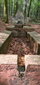

Park at Basse Henri on the road from Épinal to Bains-les-Bains. Coming from Les Treize Cantons, turn right; the car park is 100 m further down.
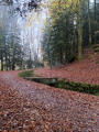
(S/E) Follow a tarmac road downhill towards a cluster of houses (Red Cross signposting). At the Fork in the road, keep to the right, passing a pond on your right, and continue along the grassy path towards the forest. After a 180° left-hand bend, carry on for about 300 m until you reach a road.
(1) Follow the road to the right, then turn left at the junction, and after about 200 m turn right into the forest. Head down towards an isolated hamlet. The path widens and joins a small road.
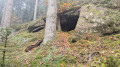
(2) Follow it to the left, continue to the junction with the Chemin des Beaux Champs and carry on for a few metres to reach the Avière Forest House. Leave the road directly opposite the entrance to the forest house and take a path (marked ‘Red Saltire’) to reach the source of the Avière.
(3) Continue along the path climbing up to the left. After a wide 180° bend to the right, turn left atthe first junction, right at the next, then straight on to reach a wider track. Turn left and follow it for about fifty metres. You’ll reach a junction at the edge of the forest.
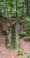
(4) Turn right again into the forest (marked with a Red Triangle). Walk for about 800 metres, ignoring the paths coming from the right, until you reach the start of the path leading to the aviators’ memorial.
(5) The memorial is about a hundred metres to the right. Retrace your steps to the junction at the edge of the forest marked with a Red Saltire sign.
(4) Turn right towards the D51 road, cross it carefully and continue straight ahead along a wide path. Passing through woodland and then across a meadow, it leads to a bend in the road (large cross on the left-hand side).
(6) Carry on straight ahead along the road, still through the forest. Ignore thefirst path on the left; take thesecond one about 150 m further on, towards the Fontaine de la Couleuvre. After about 200 m, take a detour to the left to the fountain.
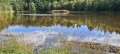
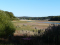
(7) Return to the path, which curves widely to the right until you reach a T-junction. Turn right, then immediately left. Stay on the gently sloping path. When it curves slightly to the left, take a track on the right to reach the Étang du Riéfaing.
(8) Turn left to go round the pond to the north and join a wide path marked with a Green Disc. Leave the forest, pass the stables on your left and reach the road opposite the Humbertois farm.
(9) Turn right along the road, re-enter the forest and leave the road to take thefirst path on the left. After about 400 m, you’ll reach a junction of paths.
(10) Turn left towards Les Treize Cantons, cross the Ruisseau de Bertraménil and continue left until you reach the hamlet.
(11) Walk through the hamlet, reach the D51 road, cross it carefully, then continue straight on to rejoin the Basse Henri and the car park (S/E).


 Visorando Member

 Difficult
 Easy
Easy 
 Tourist office