Country:

 City:
City:



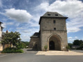
Park in the car park at Saint-Clément Town Hall, next to the church.
(S/E) Take Rue de la Poste towards the roundabout. At the roundabout, take the first road on the left (Route de la Roussille). At the junction, turn right, following signs for “Le Mayne”.
(1) As you leave the hamlet, continue along the track that runs alongside the road. At the next hamlet, continue along the road then take the first street on the left.
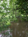
(2) When you reach the end of the road, do not turn right towards the houses but cross over and carry on straight ahead along the track. Cross the Brézou stream and carry on straight ahead to the hamlet of Mante.
(3) Pass through the hamlet along the road, keeping in the same direction. The road takes a wide left-hand bend and then joins another road; take this one to the right. At the next junction, turn left. Carry on straight ahead, then cross the Brézou stream again.
(4) After passing through the hamlet of La Sagne, turn left onto the road. Ignore a road on your left and carry on straight ahead.
(5) When the road takes a sharp left-hand bend, turn onto the track on the right. Continue along the road. At the junction, cross over and carry on straight ahead onto Rue de la Source.
(6) Carry on straight ahead along the D7 departmental road, then take the second street on the left. Turn into the first track on the left and stay on the main track at all times, following the signposts.
(7) At the junction, take a wide track on the left. Carry on until you reach the departmental road. Cross it and continue along the street directly opposite towards “Les Pouges”.
(8) Turn right towards “Lavalverdier, Le Pouget”. Go over the motorway, then take the road on the left towards “Le Pouget”.
(9) Turn left, pass the hamlet of Goudour and go under the motorway. After Pouget, take the first road on the left and continue towards the hamlet of La Forêt.
(10) Turn right, then at the bend, do not head towards the houses but take the track on the left heading north-west. Continue to the Quatre Routes crossroads
(11) Follow the main road towards Saint-Clément. At the next crossroads, veer left and then immediately right onto the road towards “Le Breuil” (the signpost is hidden behind the directional sign!).
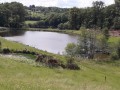
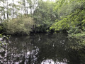
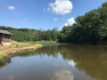
(12) At the end of the hamlet, take the path on the right. Walk alongside the pond, keeping to the left and then to the right...
(13) At the end of the pond, continue along a path to the left and rejoin the original route.
(1) Return via the original route, turning right onto the road and then left onto the Route de la Roussille until you reach the town hall car park (S/E)..

 Visorando Member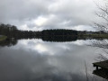

 Easy
Easy