Country:
 City:
City:


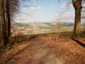
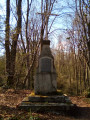
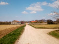
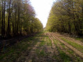
Park at the top of Rue Haute, along the pavement by the last houses in Chamery. If there really is no space, you can park in the village centre in the car park on Place du Jard, next to the tennis court.
(S/E) Leave Rue Haute and take the Chemin des Vaches to reach the junction with a vineyard track.
(1) Turn right onto this track and follow it to the junction withthe GR®142.
(2) Turn left onto theGR® and, winding your way through the vineyards, gradually climb from one ledge to the next until you reach the edge of the forest.
(3) Walk uphill through the forest for about a hundred metres before taking the path on the right – this is still theGR® – until you reach the edge of the woodland.
(4) Leave theGR® here and take the path on the left, following the edge of the woodland until you reach a four-way junction further on at the top.
(5) Turn left to enter the woods and follow a very wide grassy path, avoiding any puddles if the weather has been wet. You’ll emerge onto a wide stony track.
(6) Follow it; further on, after a bend to the left, cross the Ruisseau des Grandes Fontaines. Turn at right angles twice–first to the left, then to the right – before reaching the junction withthe GRP® de l’Ardre.
(7) Turn left onto the forest track marked with red and yellowGRP® signposts, and quickly pass the Écueil farm. You will reach the junction leading to the paragliding launch site.
(8) Turn right onto the track, follow the edge of the forest, then enter it and soon turn left to reach the launch site. Then begin the descent to reach a T-junction in the woods.
(9) Turn left and take the descending path, leaving the woods to find yourself in the middle of the vineyards on a wide track. Follow this track to rejoin theGR®142.
(10) Turn left onto it, then leave it at the next junction to continue straight ahead, eventually returning to the initial junction you passed on the way out.
(1) Turn right to return to the car park you chose at the start (S/E).

 Visorando Member
 Easy
Easy 
 Association / Club / Walk leader
 Difficult