Country:

 City:
City:


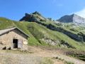
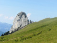
The start is from the large car park at Sous l’Aiguille. It can be reached by car from Thônes and Manigod, then via a narrow country lane passing through a multitude of farms and small hamlets.
(S/E) From the car park, walk down the road for about a hundred metres. A signpost on the right marks the start of the path towards Tardevant. The path climbs very steeply through the forest.
(1) Leave the path to Tardevant and turn right, following the stream whilst staying on the left bank. There are a few tracks here and there. Head for the pass, heading east-north-east.
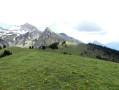
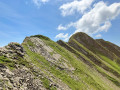
(2) Continue by sight towards the clearly visible path, which differs from the one shown on the IGN map. Reach the ridge, which has a very well-marked path.
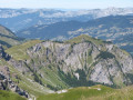
(3) Turn right onto this path, heading south and then south-west to reach Pointe de Mandallaz. Some sections of the path can be quite daunting.
(4) The descent is along the cliff face.
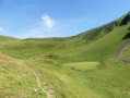
(5) Leave the cliff edge and head right towards Lac du Champ Tardif, which is visible from the summit. Leave this small lake on your left and continue to a junction (elevation 1791).
(6) Take the path on the right leading down to the Aulp de Fier d’en Bas farm and head towards it.
(7) Descend along the wide path towards the Fier ford (elevation 1543).
(8) Cross the ford to reach a wide, descending track which soon enters the forest and continues to the car park (S/E).

 Association / Club / Walk leader
 Moderate
 Visorando Member
 Difficult