Country:
 City:
City:


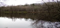
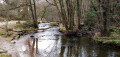
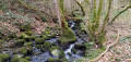
Start from the Fosse Arthur car park (bar-inn).
Yellow markings
(S/E) From the car park, head east, cross the bridge over the River Sonce and turn left onto the road. Follow the river on your left for about a hundred metres.
Red and white + yellow markings
(1) Just before a footbridge, turn right onto a path. Climb up alongside a rocky outcrop and scree on the left-hand side. This leads to a viewpoint (bench). Continue along the flat path, through gorse, holly and birch trees, to the Calvaire du Roc.
Mountain bike signpost no. 6
(2) Turn left and, at the three-way junction that appears immediately, follow the path on the left as it descends. Take a hairpin bend to the left and continue the descent. At the bottom, turn left onto the main path. Join the tarmac road and follow it to the left for a few dozen metres.
Red and white + yellow markings
(3) Cross the bridge over the river and climb slightly for about a hundred metres.
No markings
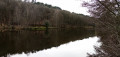
(4) At the junction, turn right to walk round the pond anti-clockwise. Cross the pond’s spillway and walk between the pond on your left and the river on your right. Pass a children’s playground and you’ll soon reach a T-junction.
Red and white + yellow markings
(5) Then turn left, continuing along the edge of the pond. Pass a small peninsula-like area on the pond (picnic tables) and return to the original junction.
(4) Carry on straight ahead and head slightly downhill. Cross the river via the footbridge.
(3) You’ll come out onto the road; follow it to the right.
Yellow markings
(1) Carry on straight ahead along the road, cross the river again and you’ll find the car park (S/E) opposite.
 Visorando Member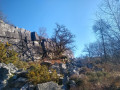

 Moderate