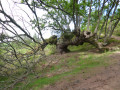
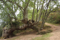
Atxuria from the Urbia Pass

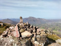
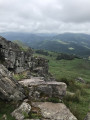
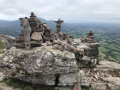
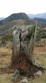
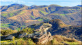
This beautiful rocky ridge is known by its Basque name, Atxuria (the white rock), and also by its Spanish name, Peña Plata (the silver rock).

A round-trip walk from the Col d’Urbia (Urbiako Lepoa in Basque), skirting around Mendibil before crossing the Col d’Ibaineta.

Details

3178099
Creation:
Last update:
Last review:
  • Walking
    Activity: Walking
  • ↔
    Distance: 3.10 mi
  • ◔
    Average duration: 2h 20 
  • ▲
    Difficulty: Moderate

  • ⚐
    Back to start: Yes
  • ↗
    Ascent: + 1,060 ft
  • ↘
    Descent: - 1,050 ft

  • ▲
    Highest point: 2,464 ft
  • ▼
    Lowest point: 1,421 ft

Photos

Description of the walk

Walk to the village of Zugarramurdi. Pass to the right of the church and, about a hundred metres further on, turn left onto the tarmac road towards Etxalar. Climb up to the pass.

(S/E) Take the path on the right heading west, ignoring the track that climbs up to the ridge at Mendibil. The path skirts round the top of a fenced meadow and reaches a junction.

(1) Keep to the right, ignoring the path that climbs up to the left, then pass over a woodland to reach the Ibaineta Pass. Along the way, you’ll need to climb over fences twice using stone steps.

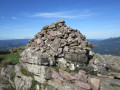
(2) Ignore the path branching off to the right at a 90° angle and take the path on the right, which ascends diagonally towards the ridge. The path initially runs along the northern flank, then veers left to climb back up onto the ridge and reaches a three-way junction near a large cairn.

(3) Continue to the right, heading west, to the summit of Atxuria.

(4) Return to the three-way junction.

(3) Turn right and head down south-east along the path, which later veers left (east) and joins the Col d’Ibaineta.

(2) Follow the same path as on the way out to return to the car park (S/E).

Waypoints

  1. S/E : mi 0 - alt. 1,424 ft - Car park - Urbiako Lepoa - Col d'Urbia
  2. 1 : mi 0.32 - alt. 1,650 ft - Junction
  3. 2 : mi 0.75 - alt. 1,683 ft - Junction of the circular loop - Col d'Ibaineta
  4. 3 : mi 1.31 - alt. 2,215 ft - Three-way junction
  5. 4 : mi 1.54 - alt. 2,464 ft - Summit - Atxuria
  6. S/E : mi 3.1 - alt. 1,421 ft - Car park - Urbiako Lepoa - Col d'Urbia

Notes

There are no water sources along the route.

Reviews and comments

4.3 / 5
Based on 2 reviews

Reliability of the description
4.5 / 5
Ease of following the route
3.5 / 5
Route interest
5 / 5
Castelet
Castelet

Overall rating : 4.7 / 5

Date of your route : Jul 08, 2024
Reliability of the description : ★★★★★ Very good
Ease of following the route : ★★★★☆ Good
Route interest : ★★★★★ Very good
Very busy route : No

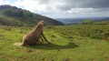
A lovely little walk where you can see lots of animals: horses, donkeys, cows, vultures…
There are some lovely views too.

Machine-translated

GERMAINY
GERMAINY

Overall rating : 4 / 5

Date of your route : Feb 11, 2022
Reliability of the description : ★★★★☆ Good
Ease of following the route : ★★★☆☆ Average
Route interest : ★★★★★ Very good
Very busy route : Yes

A lovely walk through varied countryside, with trees, rocks, grassy areas and the area’s unmissable inhabitants, the pottoks. Because the paths have been worn down by the pottoks, it’s easy to lose your way in places, but as the destination – the peak of Atxuria – is clearly visible, it’s easy to find your way back. There are clear yellow markings along the final stretch to the summit.

Machine-translated

Other walks in the area

For more walks, use our search engine .

The GPS track and description are the property of this route's author. Please do not copy them without permission.