Country:

 City:
City:


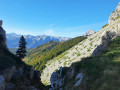
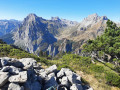
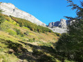
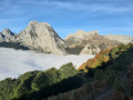
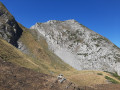
From Oloron-Sainte-Marie, head towards Spain (Jaca, Col du Somport), pass through Sarrance and the Défilé d’Esquit, leave Estanguet on your left, turn right towards Lescun, then follow signs for Labérouat. Park either opposite the signpost marking the start of the Cabane du Boué route, or in the car park before Labérouat, and walk back down the road to the signpost marking the start of the Cabane du Boué route.
(S/E) Follow the path to the left up to the ridge.
(1) Turn left and head down to the Ruisseau de Copen.
(2) Start an easy climb to the left through the forest, then emerge from it to reach the Cabane du Boué; on the map it is marked as Cuyalar du Boué.
(3) Head left, towards the gully, skirting the forest. Cross the stream and follow a trail through the forest (cairns) which climbs steeply. On emerging from the woodland, a well-marked traverse across the scree leads to the Pas d’Estaute.
(4) Walk almost horizontally along a series of ascents and gentle descents – first over rock, then across grass – above Lées-Athas, eventually reaching the ridge via a short, earthen chimney.
(5) Follow the ridge to the left, climbing up to Mail Eygarry.
(6) Descend, then climb back up to reach Oelharisse.
(7) Descend to the right along the western ridge until you reach the top of the Cheminée Ledormeur. Caution: you will need to negotiate several rather vertiginous gaps.
(8) Take this earthy chimney on the left, which has rocky sections – watch out for falling rocks – then traverse to the right. Follow a path to a ridge, descend it through thorny scrub, then through a beech wood. Cross the scree on the left.
(9) Continue up grassy slopes, above the Labérouat car park, and finish on the road to return to the car park you chose at the start (S/E).
 Visorando Member
 Average
 Easy
Easy 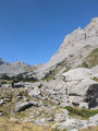
 Difficult