Country:

 City:
City:


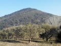
Access: Coming from Manosque towards Volx via the D4096, at the second roundabout after the shopping centre, turn left onto Chemin Louis Denis de Valvérane and follow it to the end. Park on the left-hand side of the road just after the right-angled bend, level with the entrance to the old Gaude mines (information board).
(S/E) Walk down the street, turn right at the narrow section, go through the barrier, then head up to the right along the path that branches off to the left. After 80 metres, turn right onto the path above and then right again (this path runs parallel to Géo-Méthane); follow it to the end. After the ruined house, join the wide track.
(1) Turn left, head uphill to reach the junction with another wide path, then take the right-hand hairpin bend.
(2) After about 300 metres, take the path on your left.
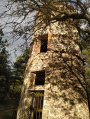
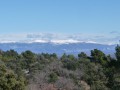
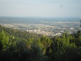
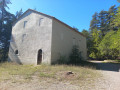
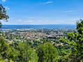
Carry on straight ahead until you come to another wide path, which you’ll take on the right. Follow it to reach the Mont des Spels rest house, where you’ll be treated to a sweeping view.
(3) Head back down and, just before the big bend, turn right onto the path which descends quite steeply but is not difficult, leading to the access path to the Relais.
Turn right, pass the house on your left; you have 200 metres to go. Turn left and head down through the olive groves.
(4) Head right to pass between the olive trees and the embankment. Carry on straight ahead.
(5) At the sign for Chemin de l’Eau de Gaude, turn left, walk past the house and carry on until you reach the road. Follow this road for about 200 metres.
(6) At the right-angled bend, turn left onto the footpath. Then carry on straight ahead.
When the path starts to climb, turn right onto the same path to return to your starting point (S/E).

 Visorando Member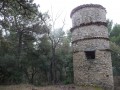

 Moderate