Country:

 City:
City:


From Lus-la-Croix-Haute, head towards the Jarjatte valley. At Les Corréardes, take the small road on the right towards La Bessée and the Riou Froid Gorges. Park in the hamlet of La Bessée.
(S/E) Continue along the road for a few metres, then leave it at the Serre Pouly crossroads to take the path on the left. Follow this path downhill for 500 metres and turn left at the wide track.
Cross the ford, veer left and follow the forest track to the junction of the path marked by a boulder with two blue stripes, which marks the start of the trail (1,049 m).
(1) Turn left to reach another junction a few metres before a clearly marked bend and a trough.
Leave this path and head up to the right through the woods (off the beaten track) to reach the forest track above.
(Caution: this is a bit tricky).
(2) Once you’ve joined the track, follow it, turning right at the first junction, until you reach a loading platform (at point 1359 on the map), situated on a ridge.
(3) Follow the middle track, which climbs very steeply towards Le Pinier.
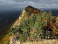
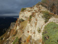
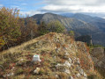
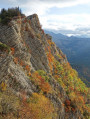
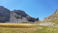
(4) Follow the ridge heading south-east. It runs off-trail through a wooded section (caution: never stray too far from the ridge line). You’ll emerge from the woods shortly afterwards; stay on a lovely grassy strip between the woods and the sheer drops of the southern slope. Alternate between ascending and descending sections until you reach the summit of La Penne.
(5) Continue along the northern ridge through the woods on a path that is faint in places. You’ll reach a grassy clearing. Cross it and continue the descent (a cairn marks the start of the path) for about 150 metres, before coming to a very lovely level path on the left.
(6) Follow this path until it ends at a ravine, which you must descend, until you come to a forest track on the left.
(7) Follow this track until you rejoin the track you took on the way up at the crossroads you passed earlier.
(2) Take this track to the right, heading downhill for about 500 metres, and look out for a path coming from the right which leads back to the junction by the rock marked in blue.
(1) Follow the route you took on the way there to return to the car park where you started (S/E).

 ). It’s also worth noting that slightly further up, a new path (marked by a cairn at its start) climbs up to rejoin the track, not far above (2).
 Visorando Member
 Easy
Easy 
 Moderate