Country:
 City:
City:


North-east of Quimperlé, from the D790 towards Le Faouët, take the Chemin Vicinal de Coatourman Vihan, then head towards the hamlet of Kerscollier, where you’ll find a large car park below the residential houses.
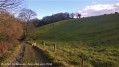
(S/E) From the car park, head east and join the wide, well-maintained footpath.
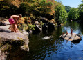
(1) Turn left at the junction. After 400 metres, you’ll reach the viewpoint overlooking the River Ellé and the rocky outcrops known as the Roches du Diable.
(2) Retrace your steps back to the junction.
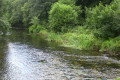
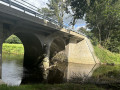
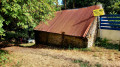
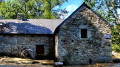
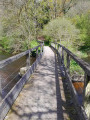
(1) Continue straight on, heading downhill, until you reach the bed of a small, unnamed tributary of the Ellé, which originates in the village of Coatourman Vihan. You’ll reach the very pretty site of the Moulin de Kerléon, where a bridge over the Ellé allows you to cross to a fairly large island in the middle of the river. This island is private property and not accessible.
(3) Continue southwards along the right bank of the Ellé until you reach the junction with the Route du Pont Neuf.
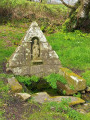
(4) Turn right, heading uphill towards the west, then south-west. Pass close to the wash house. Pass a house with a green gate on the left and, immediately upon leaving the wooded area, you will find an agricultural right-of-way on the right, veering sharply to the right. The path passes under a telecommunications mast on the right and winds anti-clockwise around a large field. The path becomes a village street as it reaches the houses in the hamlet of Locunolé, in the Beg ar Roz district. Continue to the western end of this street and the junction with Rue du Moulin Neuf.
(5) Turn right into the cul-de-sac and continue straight on along the street, which turns into a footpath and enters the woods. The path descends steeply into the valley floor, where runoff water covers a large part of the path. Ignore all side paths leading into the heart of the forest. Cross the same tributary of the Ellé described above and reach the Moulin Neuf farm.
(6) Then head up the small road on the right leading to the farm, until you reach the car park (S/E).
 Visorando Member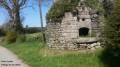

 Easy
Easy