Country:
 City:
City:


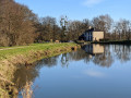
Start from the car park at the Canal House, 48.30562, -1.793809.
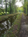
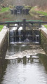
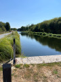
(S/E) Cross the road and then the bridge. Take the path on the left which runs alongside the Canal d’Ill et Rance and continue.
(1) The GR®37 joins the path: follow it straight on until you reach the D287 at a place called La Fortonnais.
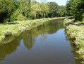
(2) Turn left onto it and cross the bridge. Leave the signposted path and turn immediately right at a place called La Guénaudière. Walk alongside the canal for about 670 m.
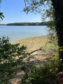
(3) Take the path on the left and head towards the water channel. Turn left onto the path and, after about a hundred metres, cross the water channel to rejoin the signposted path; continue to the right. Walk alongside the Bazouges Reservoir and join a stony track at a weeping willow.
(4) Turn sharply left towards the centre of Bazouges-sous-Hédé and walk to the church.
(5) Opposite the church, take Rue Jules Duval on the right, which curves in an S-shape at a car park. Take the D87 on the right, then, at the fork, follow the signs for Dingé for 120 m. Take the stony track on the left, which becomes a grassy path for 600 m, then turn left onto the path and continue to a crossroads at the hamlet of La Landes-es-Glets. Take the road on the right as far as the hamlet of L’Écoutel.
(6) Follow the path to the left, heading due west, and continue until you reach a road; then follow it straight on towards the hamlet of Rouyon.
(7) Head right for 500 metres and turn left. Cross the D795 with care, and follow the path to Saint-Méloir-des-Bois.
(8) At the crossroads, take the road on the right, follow it whilst keeping to the left, and head for the hamlet of La Touche aux Aubry. Take the first path on the right after about 130 m until you reach the canal.
(9) Turn left and walk alongside the canal back to the starting point (S/E).
 Visorando Member
 Easy
Easy