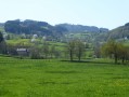
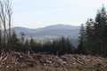
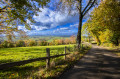
Country:

 City:
City:


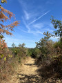
Start from Place de la Bacsule.
(S/E) Head towards Charolles on the left.
(1) Turn right onto Chemin des Poponnots, then continue straight on at every junction until you reach the Croix de la Salle.
(2) Turn right onto the road of the same name until the next junction.
(3) Turn left towards Corcheval and La Combe au Gallet. Join the D79, follow it to the left for 300 m, then cross it carefully and turn right towards Corcheval.
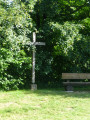
(4) Turn right just after the pond. After about 500 m, leave this path and veer slightly to the right, then enter the woods. Join the D79, follow it to the left, pass the Croix de la Pierre, then reach the Reuil des Dames.
(5) Turn left onto the Chemin de Sous Botey. Then turn left again towards Les Carges via Mont Botey. Enter the woods before keeping left at the junction. At the Fork in the road, turn right.
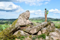
(6) At La Roche Brûlée, the view opens up. Turn right. Then rejoin the Route des Carges. Follow it to the left until you reach Les Quatre Chemins.
(7) Turn right onto the Route de Quierre until you reach a pond and a cross.
(8) Head left towards the Moulin des Pierres. Ignore the first path on the right and go straight up (slightly to the right).
(9) After 400 m, turn right at the Fork in the road.
(10) You’ll reach the road at Montot. Turn right, then right again and continue along the dirt track.
(11) Keep right at the junction towards Beaubery Le Bourg. When you reach Les Queues de Rat, keep left.
(12) When you reach Route du Verne, follow it to the right.
(13) When you reach Route de Quierre, turn left onto it. Then continue straight on to return to the village and the car park (S/E).


 Visorando Member
 Difficult
 Very difficult
  Tourist office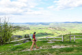
 Easy
Easy