Country:
 City:
City:


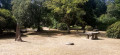
Park in the Mont de Cerisy car park (signposted from the village of Cerisy-Belle-Étoile).
Signposted for Pic-Épeiche + Belette (separate signs)
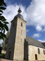
(S/E) From the car park, head north towards the castle, which is clearly visible, along a tarmac path. Leave the castle on your right and continue to its western corner (on the right, there is access to climb to the top of the tower).
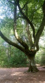
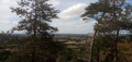
(1) Continue straight on along a tarmac path and, at the Fork in the road that appears immediately, keep to the right. Ignore a path coming from the left and continue along a path lined with tall trees (pseudo-menhirs and pseudo-dolmens on the left). Carry on straight ahead (north-west) towards the viewpoint. Descend slightly and arrive at a crossroads.
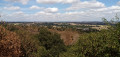
(2) Carry on straight ahead and you’ll very quickly reach a viewpoint with railings. Retrace your steps.
(2) Take the first path on the right. After about 150 m, you’ll reach a crossroads.
Signposted ‘Pic-Épeiche’ + ‘Belette’ + red and white markings
Then take the second path on the left, which is narrower than the others, and head gently uphill.
(3) At the next signpost, there are two options which join at the next junction:
- Follow the route marked ‘easy’ to the left. At the next junction, turn right.
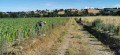
- As shown on the map, go straight on along the route marked as ‘difficult’ (which does not present any real difficulty, unless you are pushing a pram). Follow a path through open terrain with a few small rocks.
(4) At a junction, go straight on, passing an outdoor fitness station on the right. At the Fork in the road that appears immediately afterwards, keep to the right. At the next junction, continue straight on. You’ll come out onto another path; follow it to the right and downhill.
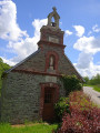
(5) At the next junction, carry on straight ahead (ignore an arrow indicating a left turn) and pass a small pond on your right. Then walk between the ruins of a 10th-century chapel on your left and a playground on your right. Continue along a tarmac path.
Signposted Pic-Épeiche + Belette
At the next junction, go straight on (ignore the GR® path branching off to the right). Pass a snack bar on your right, go through a wooden gate and you’ll reach the car park straight away (S/E).
 Visorando Member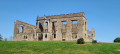

 Moderate