Country:

 City:
City:


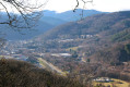
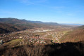
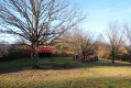
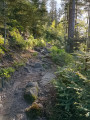
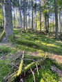
The start is in the village of Russ at the end of Rue de la Forêt. The route is signposted throughout with a ‘Green Ring’.
(S/E) From the car park, head towards the forest and walk to the pumping station.
(1) Turn right and continue along this track for about 2.5 km, ignoring the next two right-hand turnings. You’ll come to a three-way junction.
(2) Continue climbing to the right until you reach the next junction at elevation 606.
(3) Turn right and follow the Route Forestière de la Sapinière to the Teufelsloch crossroads.
(4) Behind the shelter, take the Green Ring path; the path heads west then north-west and begins the descent, passing through the hamlet known as ‘la Hongrie’. You’ll reach a junction.
(5) Turn sharply to the right; after a left-hand bend, the path heads north. Stay on this path until you reach the Route Forestière de la Marbrière.
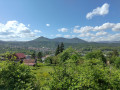
(6) Turn left towards the shelter and the Marbrière viewpoint; a picnic spot is available.
(7) Retrace your steps to the previous junction.
(6) Carry on straight ahead along the Route Forestière de la Marbrière. At the junction, turn left to return to the pumping station at the crossroads you passed on the way out.
(1) Turn left again and, following the route in reverse to the one taken on the way out, head back to the car park (S/E).


 Visorando Member

 Tourist office
 Easy
Easy 
 Difficult