Mont Dommage

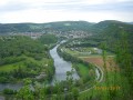
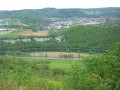
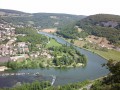
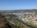
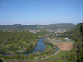
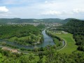
A walk through the woods on the hills above Baume-les-Dames, reaching a height of 560 metres at Mont Dommage.

Details

568330
Creation:
Last update:
Last review:
  • Walking
    Activity: Walking
  • ↔
    Distance: 5.75 mi
  • ◔
    Average duration: 3h 35 
  • ▲
    Difficulty: Difficult

  • ⚐
    Back to start: Yes
  • ↗
    Ascent: + 1,056 ft
  • ↘
    Descent: - 1,047 ft

  • ▲
    Highest point: 1,847 ft
  • ▼
    Lowest point: 863 ft

Photos

Description of the walk

Park opposite the Super U on Rue Jouffroy d’Abbans.

(S/E) Take Rue du Moulin Vermoret, which runs alongside the River Doubs. Head for the footbridge over the river.

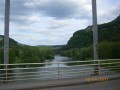
(1) Cross the footbridge; at the end, turn right and follow the towpath to the bridge at a place called La Grange Vuillotey.

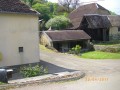
(2) Cross the Rhône–Rhine Canal and walk between the house and the fountain along the path leading into the woods.
You’ll reach a crossroads.

(3) Turn right and head up into the woods. Continue through the woods until you reach a crossroads with a signpost at the junction of the paths.

(4) Turn left towards Mont Dommage. Follow the yellow and blue markings. At the various signposts, always head left towards Mont Dommage and continue along the edge of the woodland to come out onto the CD112 road.

(5) Turn left onto this road and walk downhill for 100 metres to reach a path junction (please note that this path is not shown on the IGN map but is marked on the route).

(6) Take the path on the left, heading downhill and following the yellow and blue markings. You will reach the Salle des Fêtes.

(7) Cross the car park on the left to exit at the campsite.

(8) Take the stone path and continue to the right. Walk alongside the Rhône–Rhine Canal.
After the pub, go round the side and follow the towpath. Head uphill to reach the bridge on the CD50.

(9) Turn left until you reach the roundabout, crossing the Pont Bleu. Continue to the roundabout on Rue Demi Cour.

(10) Turn left and cross the lawns to reach the starting point. (S/E)

Waypoints

  1. S/E : mi 0 - alt. 876 ft - Super U car park
  2. 1 : mi 0.35 - alt. 869 ft - Footbridge crossing the River Doubs
  3. 2 : mi 1.17 - alt. 883 ft - Pont la Grange Vuillotey
  4. 3 : mi 1.3 - alt. 915 ft - Vuillotey woods
  5. 4 : mi 2.32 - alt. 1,371 ft - Crossroads with signpost
  6. 5 : mi 4.29 - alt. 1,181 ft - Route via the CD112 road
  7. 6 : mi 4.36 - alt. 1,145 ft - Path with signposts
  8. 7 : mi 4.75 - alt. 886 ft - Village hall
  9. 8 : mi 4.94 - alt. 879 ft - Campsite
  10. 9 : mi 5.47 - alt. 883 ft - Bridge
  11. 10 : mi 5.67 - alt. 883 ft - Roundabout
  12. S/E : mi 5.75 - alt. 876 ft - Super U car park

Notes

Various shops at the end of the walk.
A fairly challenging hike with several climbs, taking place entirely in the woods.
Equipment required. Avoid in wet weather.
Not suitable for children.
In terms of flora: wild garlic, lily of the valley and orchids; and in terms of fauna, a chamois was spotted.

Worth a visit

Baume-les-Dames town centre.

Reviews and comments

5 / 5
Based on 2 reviews

Reliability of the description
5 / 5
Ease of following the route
5 / 5
Route interest
5 / 5
isa 90700
isa 90700

Overall rating : 5 / 5

Date of your route : Feb 17, 2025
Reliability of the description : ★★★★★ Very good
Ease of following the route : ★★★★★ Very good
Route interest : ★★★★★ Very good
Very busy route : Yes

A lovely walk with pleasant paths

Machine-translated

lapetite//fourmi
lapetite//fourmi

Overall rating : 5 / 5

Date of your route : Mar 22, 2021
Reliability of the description : ★★★★★ Very good
Ease of following the route : ★★★★★ Very good
Route interest : ★★★★★ Very good
Very busy route : No

Great!

Machine-translated

Other walks in the area

For more walks, use our search engine .

The GPS track and description are the property of this route's author. Please do not copy them without permission.