The Bellenville Marshes and the Préolan

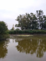
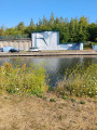
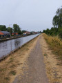
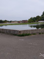
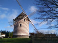
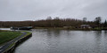
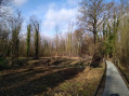
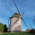
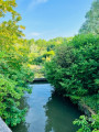
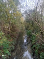
This walk, starting from Beuvry, will take you along the canals and then into the Bellenville Marshes. It passes through Petit Sailly before reaching Bas de Beuvry and Préolan. On the way back, you’ll walk alongside the canal, not forgetting to visit the observatory in the marshes where, with a bit of luck, you might spot some migratory birds.

Details

103186205
Creation:
Last update:
Last review:
  • Walking
    Activity: Walking
  • ↔
    Distance: 6.12 mi
  • ◔
    Average duration: 2h 50 
  • ▲
    Difficulty: Easy

  • ⚐
    Back to start: Yes
  • ↗
    Ascent: + 26 ft
  • ↘
    Descent: - 26 ft

  • ▲
    Highest point: 95 ft
  • ▼
    Lowest point: 62 ft

Photos

Description of the walk

Start from the car park on Rue Jules Weppe.

(S/E) With your back to the Beuvry Canal, head left, then turn left twice, and follow the canal to Rue François Galvaire.

(1) Turn right onto this street and continue straight on until you reach the entrance to the Maison de la Poésie and the entrance to the marsh.

(2) Turn left, enter the marsh and keep to the right, then walk to the observatory and back.

(3) Turn round, then continue to the right and follow the path.

(4) At the junction, turn left. At the end, turn left onto Rue de Bellenville (GRP®) and follow it to the fork.

(5) Leave the GRP®. Turn right, then at the next fork, follow the path on the right until you reach Rue Gorre.

(6) Follow it to the left; at the end, turn right onto Rue Chafflaine. At the end of this street, turn left onto Rue Haute, heading towards the Canal d’Aire à la Bassée and the railway line. The street then turns left and comes to a road junction.

(7) Cross Rue Basse and continue straight ahead to Rue Mélot.

(8) Turn right twice and walk alongside the Canal de Beuvry. Pass under the railway bridge, then cross the bridge over the canal to reach the bank of the other canal.

(9) Turn right, then follow the Canal de Beuvry again for 1.6 km until you reach the end of the path.

(10) Turn left, take the path uphill, carry on straight ahead and head for the car park (S/E).

Waypoints

  1. S/E : mi 0 - alt. 69 ft - Car park on Rue Jules Weppe. Beuvry Canal
  2. 1 : mi 0.63 - alt. 66 ft - Rue François Galvaire
  3. 2 : mi 0.93 - alt. 66 ft - Entrance to the marsh
  4. 3 : mi 1.2 - alt. 66 ft - Observatory
  5. 4 : mi 1.84 - alt. 72 ft - Crossroads
  6. 5 : mi 2.54 - alt. 72 ft - Fork
  7. 6 : mi 2.97 - alt. 69 ft - Rue Gorre
  8. 7 : mi 4.02 - alt. 69 ft - Crossing the road
  9. 8 : mi 4.24 - alt. 69 ft - Rue Mélot
  10. 9 : mi 4.71 - alt. 66 ft - Fork - Canal d'Aire
  11. 10 : mi 5.7 - alt. 69 ft - End of the path
  12. S/E : mi 6.12 - alt. 69 ft - Car park, Rue Jules Weppe

Notes

No water points.

Alternative route at (5): first turn right then left. At the end, first turn left then right, then take the road on the right and follow the reservoir and then the canal. At (1), cross the bridge and turn to reach (10).

Other walks in the area

For more walks, use our search engine .

The GPS track and description are the property of this route's author. Please do not copy them without permission.