Country:
 City:
City:


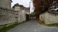
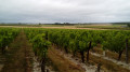
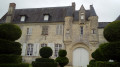
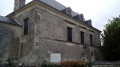
Start from the centre of Ligré. Park in the town hall car park, which is situated behind the building and is accessible from Rue de la Morlière, at the entrance to the village when approaching via the small road from the hamlet of La Morlière.
(S/E) On leaving the car park, turn right, cross Rue Saint-Martin (D426) and head up Rue du Dolmen.
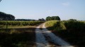
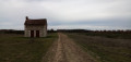
(1) At the next junction, carry on straight ahead towards the dolmen. After about 200 metres, turn right onto the wide grassy path which, in the middle of a field, leads to the dolmen.
(2) Retrace your steps, rejoin the road and follow it to the right for about 300 metres.
(3) Then take a field path on the left, which starts at the foot of an electricity pole. Go straight on and ignore a path branching off to the left.
(4) At the end, turn left towards some houses. At thefirst house, the track gives way to a tarmac road. You’ll come out onto a street; follow it to the right.
(5) At the Stop sign, turn right into Rue du Grand Rouilly. Just after the sign marking the entrance to Le Rouilly (on the left-hand side), turn left onto a wide path between the fields.
(6) At the end, take thesecond path on the right (north-west) and follow it alongside a woodland on your left. Ignore a path leading into the woodland on the left and return briefly to the tarmac.
(7) Cross the D115 and continue along the path opposite. Enter a woodland and immediately ignore a faint track branching off to the right. At the Fork in the road that appears shortly afterwards, turn right. Head down into the woodland along a good path and ignore any faint tracks branching off to the right.
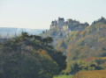
(8) At the T-junction, turn right. Walk through the hamlet of Les Ormeaux and, at the end of the street, first turn left then right to walk alongside the wall of a property on your right. At the corner of the wall, turn right and you’ll reach the main gate of Sassay Castle.
(9) Retrace your steps and pass through the hamlet of Les Ormeaux once more.
(8) At the junction you passed on the way out, carry on straight ahead. Walk alongside the woodland on your left, note a vineyard plot on the right and ignore a path branching off to the left. At the edge of the woodland, carry on straight ahead (south-west) between the fields for about 500 metres.
(10) At thefirst junction, turn left. At the next junction (elevation 91), turn left again and head towards the woodland. Just before reaching it, take a grassy path on the right towards some houses. Walk through the hamlet of Le Quellay.
(11) At the junction, cross the D115 and follow the C11 opposite towards Ligré. Pass through the hamlet of La Chênaie du Quellay. At the crossroads, continue along the main road, which turns sharply to the left.
(12) At the junction, turn right onto a small gravel road towards La Huberdellière. After about 150 metres, you’ll find a shaded spot on the left ideal for a break, and nearby a series of ponds (the surroundings are somewhat overgrown; as of July 2018). Retrace your steps.
(12) Back at the junction, follow the road to the right. At a Fork in the road, turn left towards Le Rouilly.
(5) At the Stop sign, continue straight on along Rue de Rouilly. Ignore the lane on the left that you took on the way there. At a Fork in the road, continue straight on and ignore the lane on the right. At the Stop sign, continue straight on.
(1) At the next stop sign, turn right downhill. Cross Rue Saint-Martin and you will find the town hall car park on your left (S/E).

 Visorando Member
 Easy
Easy