


Make sure you have walking boots, water, a first-aid kit and a cap.
Leave Monovar, take the road towards Novelda, turn right onto Cami del Collado de l’Ametler, then right again, follow the tarmac road until you reach a track, and park there.


Follow the track until you reach a gate; go round it to the side, walk along the right-hand side of the fence, and rejoin the track a few metres (50 metres) further on. Follow the track to a building with a gate; a small path on the right runs alongside the fence. Follow the track to La Zafra, a huge boulder. A slightly steep path in front of you leads to the foot of the mountain; follow the path on the left. Amidst these boulders, a steep section with trees takes you up to the summit. At the top, there are several small paths; take the one on the right to head towards the summit. Return via the same path.


 Country:
Spain
 City:
Monòver / Monóvar


Make sure you have walking boots, water, a first-aid kit and a cap.
Leave Monovar, take the road towards Novelda, turn right onto Cami del Collado de l’Ametler, then right again, follow the tarmac road until you reach a track, and park there.
The source of the Rio Salinetes and the Clot de la Sal near Novelda 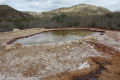 7.14 mi
+525 ft
-535 ft
3h 45
Moderate
 Departure from Novelda (Alacant / Alicante)
The shelters of the stone-breakers at the Novelda quarries
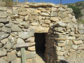 2.70 mi
+469 ft
-466 ft
1h 40
 Easy
Departure from Novelda (Alacant / Alicante)
The summit of Don Pedro in Salinas
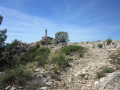 6.24 mi
+1,647 ft
-1,493 ft
4h 20
Moderate
Departure from Salinas (Alacant / Alicante)
Ermita de las Cañadas in Elda
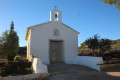 5.17 mi
+367 ft
-374 ft
2h 40
Easy
Departure from Elda (Alacant / Alicante)
The summit of Montagut near Elda
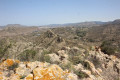 4.52 mi
+604 ft
-623 ft
2h 35
 Difficult
Departure from Novelda (Alacant / Alicante)
Llobera, Torreta and Pantano in Elda
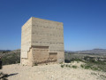 4.63 mi
+522 ft
-525 ft
2h 35
Easy
Departure from Elda (Alacant / Alicante)
Along the River Vinalopó in Novelda
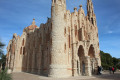 4.89 mi
+312 ft
-312 ft
2h 30
Easy
Departure from Novelda (Alacant / Alicante)
Hike to the summit of El Caire near Salinas
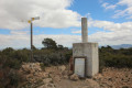 7.35 mi
+1,952 ft
-1,959 ft
5h 05
Moderate
Departure from Salinas (Alacant / Alicante)
For more walks, use our search engine .
The GPS track and description are the property of this route's author. Please do not copy them without permission.
Scan this QR code with your smartphone's camera.
To open this route on your smartphone, you must have the Visorando app installed. If not, got to the Apple Store (iPhone) or Google Play Store (Android) to download the app.
 Visorando Member

