Country:

 City:
City:


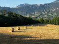
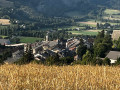
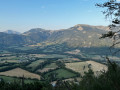
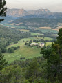
The walk starts at the hamlet of Les Chapeliers at the end of Chemin du Château. Park without causing any inconvenience to local residents.
(S/E) Follow the Chemin du Château, which heads south-southeast for about 400 m, until you reach the junction with a path coming from the left.
(1) From here, the route is signposted. Continue straight on, cross a bridge over the Ravin des Clapes and begin the steep climb towards Montclar Castle. You’ll catch sight of it around a bend.
Continue the climb, pass the driveway leading to the château, and carry on for about 200 m until you reach the next junction, marked by a signpost for “Château de Montclar”.
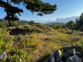
(2) Leave the track that continues straight ahead – that is the way back. Take the steep path to the left. Marked in yellow, it leads to the summit of La Pare. The climb is very steep for quite a while. After about 200 m, cross a track and continue climbing. The path alternates between stony and stoneless sections; it turns right and heads south-east. A clearing in the forest offers a fine view of Montclar Castle. A little further on, you can see Chabanon and the Plaine de Chardavon.
The slope levels out, then a short descent leads to the hamlet known as “La Berche”.
(3) The signpost points to “La Pare”, but we’re not there yet; we still need to continue climbing south-eastwards. The slope is moderate all the way to the summit of La Pare (elevation 1,442).
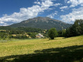
(4) The descent starts off gently but then encounters a few very steep sections where you’ll need to take great care. Lovely view over Seyne-les-Alpes.
The path joins a track and then a tarmac road, with another view of Seyne-les-Alpes.
(5) Continue to the right along this road heading south-west, keeping this direction at junctions. It leads to a crossroads marked by a signpost for ‘La Gineste’.
(6) Turn right onto the road leading from Seyne-les-Alpes to Montclar Castle. The tarmac section of this road is approximately 2 km long. It’s a peaceful stretch with pleasant scenery. You’ll come to a house numbered 2057 on a right-hand bend.
(7) The road becomes unpaved; through the trees you can see the château. Further on, the path enters the forest and reaches the signpost for “Château de Montclar” and the junction you passed on the way there.
(2) Follow the outward route in the opposite direction, heading downhill to the bridge – where you can dip your feet in the river – then along the final stretch of flat ground to reach the hamlet of Les Chapelier (S/E).
 Local authority
 Easy
Easy  Visorando Member