


 Country:

 City:
City:


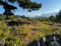
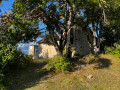
Start from Risolet next to the Saint-Grégoire Chapel. There are few parking spaces; park opposite the chapel without obstructing traffic.
(S/E) Take the signposted tarmac road which climbs to the left of the chapel. This road becomes a footpath, then descends; leave it quickly and take an unmarked track to the left.
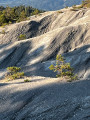
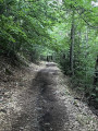
(1) Follow this path as it climbs through the forest, then turns into a track and passes by some marl deposits.
(2) Take the path branching off to the left and climbing to the summit of Bois le Prêtre.
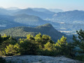
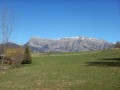
(3) Continue down afairly steep descentwith views of the Tatier and La Salette (see photo). The path joins a signposted track heading towards Villaudemard.
(4) Head right for a few dozen metres, leaving the signposted path behind. Climb left along anunmarked path to the summit of the Tatier.
(5) Continue down another fairly steep descent which leads onto the track climbing from Sous la Roche to La Salette. Turn left onto this track, which leads onto a ridge and joins the signposted path coming from Risolet.
(6) From there, make a round trip to La Salette. Continue to the right. Follow the path until you reach the foot of a hillock; go round it to the left and arrive next to the clock tower. Head back up to reach the Chapel of La Salette.
(7) Climb up to the ruins of the old, abandoned village of Montclar. Head back down to rejoin the path you were on before going round the hillock.
(6) Follow the signposted path on the right which leads back to Risolet. Pass the signposts for ‘Les Grangeasses’ and then ‘Le Tatier’. Return to the Chapel of Saint-Grégoire in Risolet (S/E).
 Visorando Member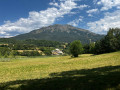

 Moderate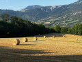
 Local authority
