Country:

 City:
City:


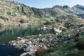
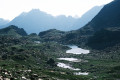
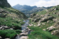
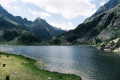
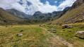
(S) From the Étang du Rouch, take the well-trodden path heading due east then east-south-east towards the pass.
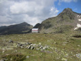
(1) At the pass, do not head straight down but follow the less steep path veering slightly to the left, then turn right towards the first ponds to reach the Cabane des Llassiès, halfway along the long pond.
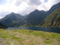
(2) Follow the path alongside the stream and the small ponds and enjoy the tranquillity and the idyllic scenery.
(3) Here, you have two options:
- turn right to cross the scree slope (the recorded route).
- head slightly to the left (northwards) along the pond and follow the stream from the 2386-metre mark, then turn eastwards to reach the next pond (the more traditional route).
The two routes meet on the right-hand side of the next pond.
(4) At the end of this, descend a little and follow the stream along the right bank. Veer off to the west before a rocky outcrop, either naturally and gradually, or at the last moment using a cairn situated just before the outcrop if you prefer to follow the stream for longer.
(5) Here, there are again two options:
- descend straight down the vertical, exposed grassy chimney to the right of the large rock barrier and rejoin the main path at the bottom of the chimney (track recorded, path marked on OSMRando)
- follow the path round the rocky outcrop, first winding south-west then north-east, to reach the base of the grassy chimney.
In this area, take great care with the large clumps of gispet, which conceal deep holes; otherwise, a fall is inevitable, and this really isn’t the right place to fall. Reach the Jasse de Bélesta.
(6) There is no clear path here, but follow the stream roughly and head towards the cows waiting peacefully below. You must remain very focused amongst the tufts of grass. On the flat stretch, turn gently to the left and follow the Ruisseau de Peyregrand along the left bank.
Continue without difficulty to the Cabane de Peyregrand, following the stream and theGR® T65, which is on the other side and which you’ll join shortly after the altitude of 1976 (where it meets the Ruisseau de l’Étang Blaou).
(7) Pass the Cabane de Peyregrand (and possibly its cows) on the other side of the bank, let theGR® T65 merge with the path and continue along the left bank to the Étang de Peyregrand.
(8) One of the few shaded spots awaits us at the lake. Follow the path round the left-hand side of the lake to the sluice gate at elevation 1898.
(9) The descent after the pond gets a bit steeper over two slightly challenging sections, before levelling out again towards the Pont de Gespedière.
(10) Cross the bridge to reach the right bank and continue to the Cabane de Brouquenat d’en haut.
(11) Pass the hut on your right and carry on to the pond of the same name.
(12) At the Étang de Brouquenat d’en haut, continue on level ground to the Pont de la Peyre at an elevation of 1492.
(13) Return to the path taken on the way up to reach the Étang du Rouch via the Étang de Gnioure.
Descend along the path, which is sometimes stony, sometimes paved, but always uneven and very slippery in wet weather.
(14) Cross a footbridge.
(15) Cross a second footbridge. Continue , taking in the many waterfalls whilst keeping your eyes firmly on your feet, and reach the Bouychet car park (E).


 Visorando Member
 Moderate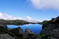
 Difficult