Country:
 City:
City:


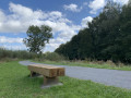
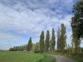
Park at Place de Lameries, in the hamlet of Vieux-Reng.
(S/E) Walk up the road and turn left twice to reach Rue de l’Olletiaux; follow this path, pass the hamlet known as Les Trois Maisons and continue to the second drinking water catchment area.
(1) Take the path on the left which leads to a tarmac road.
(2) Follow the tarmac road to the right as far as the junction with the D159 (Le Quatre Bras) and carry on straight ahead towards Boussois. Follow this small road lined with hedges, which still serve as boundaries here.
(3) Turn left, pass under the N49 expressway and follow the tarmac road to the entrance to Boussois. On your left, on the wooded hill, stands the Fort de Boussois, which overlooks the area from
from a height of 166 metres. From this spot, you’ll have a panoramic view of the Sambre valley.
(4) Walk down Rue des Bonniers (a ‘bonnier’ was a unit of area equivalent to 3 ‘journels’, a ‘journel’ being the area of land a man could plough in a day).
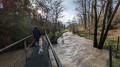
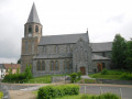
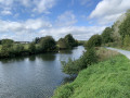
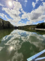
(5) When you reach the departmental road (D959), turn right and follow it for 50 metres, before turning left onto the Chemin des Marpigneaux, near the Chapel of Notre-Dame-des-Affligés, built in 1866. After 50 m, take the path on your right towards the Sambre, then follow the towpath to the left. You’ll walk alongside the river and a wetland area where you’ll be able to spot various birds (moorhens, herons, kingfishers, etc.). Pass under an old railway bridge.
(6) At the end of the path, turn left onto the D59, go under the D649 and continue to the T-junction.
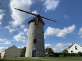
(7) At the top of the hill, take the first street on the right, then follow Rue de Grand Reng straight ahead. A little further on, on your left, you’ll see an old windmill. Carry on to the boundary marker.
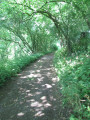
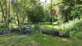
(8) Carry on to the café, then take the dirt track straight ahead. This track becomes increasingly sunken as it runs alongside the French-Belgian border. At the end of the track, just past the low wall, an old blue stone marker dating from 1819 indicates the border.
(9) At the end of the track, turn left towards the water tower before joining the road that will take you back to your starting point. You’ll be able to see a remarkable ‘porche de cense’ (a farm with an enclosed courtyard) as well as various shrines and chapels. You’ll reach Place de Lameries (S/E).


 AONB
AONB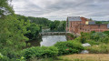
 Easy
Easy 
 Visorando Member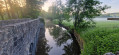
 Difficult