Country:
 City:
City:


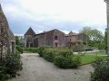
Park on the Place de l’Église.
(S/E) Turn left onto Rue Sainte-Marthe, with your back to the church. After 200 metres, turn right onto Rue de la Cure. Walk past the Town Hall and continue for about 150 metres.
(1) At the corner of an old house, turn left onto a path that starts near a beige gate leading to a private courtyard. This path runs between the houses and then descends, nestled amongst the vegetation.
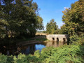
Once you reach the road, turn left to head back up towards the village (you can take a detour to the right to the Moulin Neuf bridge over the Autize).
(2) At the top of the hill, at the Logis de la Gorre (private property), turn right onto Route de Bénette. Take in the view of the Pichenin woods, the village and its hamlets. Ignore the hamlet of La Servantière on your left and carry on straight ahead until you reach a small road on the right.
(3) Turn right onto the small road towards La Chauvinière, and a little further on, take the path that descends to the left (muddy in wet weather).
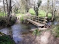
Carry on until you reach a footbridge over the Autize (missing from the IGN map).
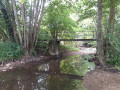
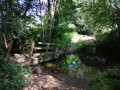
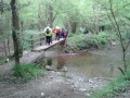
(4) Turn right, cross the Autize via the wooden footbridge and continue uphill along a very uneven path.
At the top, the path becomes a small road and passes in front of the Terrassonnière farm. Carry on until you reach another road. Take this to the left. Ignore the entrance driveway to the Château du Logis de Pichenin on your right.
(5) Turn right onto the footpath which leads into the woods and joins another entrance to the Logis de Pichenin. Continue to the left until you reach the hamlet. Turn left at the first junction.
(6) Head to the right and carry on until you reach another unpaved track leading off to the left.
(7) Turn left and carry on for about 1.3 km until you reach a T-junction.
(8) Turn right (you can take a short detour to the left to see the Croix de la Huche, 200 metres away).
After about 400m, as you come out of the bend, turn right onto another path leading down towards the valley.
(9) At the bottom, take the wooden footbridge, known as the Planche de la Route, and start the climb up the steep, rather rugged, ravine-like path.
(10) At the top, turn right and, after 300m, turn right again. Continue on to La Mélissière. Walk past the restored entrance to the park and follow the dry-stone wall.
(11) Head off to the right, make your way to Xaintray cemetery and go down Rue des Fontaines. At the bottom, turn right to reach Rue Sainte Marthe and the church car park (S/E).

 Visorando Member

 Association / Club / Walk leader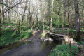
 Easy
Easy