Col de Baure and Château Nardent starting from the Fontaine Bonnet car park

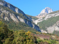
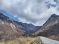
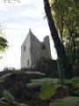
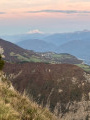
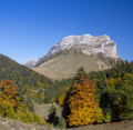
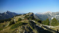
Ascent to Château Nardent, a lovely viewpoint over the Grésivaudan valley situated on a promontory of the Petites Roches plateau near Saint-Pancrasse. Shaded walk: almost the entire route is in the shade.

Details

n°61456436
Creation:
Last update:
Last review:
  • Walking
    Activity: Walking
  • ↔
    Distance: 6.61 mi
  • ◔
    Average duration: 5h 05 
  • ▲
    Difficulty: Average

  • ⚐
    Back to start: Yes
  • ↗
    Ascent: + 2,369 ft
  • ↘
    Descent: - 2,336 ft

  • ▲
    Highest point: 3,980 ft
  • ▼
    Lowest point: 1,660 ft

Photos

Description of the walk

Park at the Fontaine Bonnet car park, situated at the top of the hill, to the left of the D30 when coming from Saint-Ismier: around fifteen spaces.

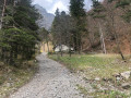
(S/E) Once you’ve passed the barrier, follow the forest track, which gradually narrows.

(1) At the first junction (Fontaine Bonnet car park), carry on straight ahead and join the new forest road: viewpoint over Manival.

(2) Turn right to head up this ‘highway’ towards the Manival Forest Hut and reach it.

(3) Turn right in front of the hut to begin the climb towards the Col du Baure. The ascent is gentle, with numerous hairpin bends.

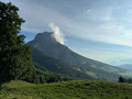
(4) Once at the Col du Baure, enjoy the view over the Saint-Hilaire plateau and the Dent de Crolles at the edge of the meadows opposite the sign. Then turn right to reach Château Nardent: a viewpoint overlooking the Grésivaudan valley.

(5) Turn back and follow the ascent route in the opposite direction to return to the car park where you started (S/E).

Waypoints

  1. S/E : mi 0 - alt. 1,660 ft - Fontaine Bonnet car park
  2. 1 : mi 0.1 - alt. 1,722 ft - Bonnet Fountain
  3. 2 : mi 0.46 - alt. 1,991 ft - Junction with the new forest road
  4. 3 : mi 1.38 - alt. 2,822 ft - Manival Forest Lodge
  5. 4 : mi 2.8 - alt. 3,921 ft - Col du Baure (1200 m)
  6. 5 : mi 3.3 - alt. 3,911 ft - Le Château Nardent (1217m)
  7. S/E : mi 6.61 - alt. 1,667 ft - Fontaine Bonnet car park

Reviews and comments

4.3 / 5
Based on 2 reviews

Reliability of the description
4.5 / 5
Ease of following the route
4.5 / 5
Route interest
4 / 5
Jeanloic
Jeanloic

Overall rating : 4 / 5

Date of your route : Jan 29, 2026
Reliability of the description : ★★★★☆ Good
Ease of following the route : ★★★★☆ Good
Route interest : ★★★★☆ Good
Very busy route : No

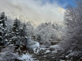
We went for a walk after a snowfall; the snow-covered trees were magnificent, but the fog meant there was no view from Nardent Castle. Because of the heavy snow, the path to the Col du Coq was sometimes hard to find.

Machine-translated

User 3357964

Overall rating : 4.7 / 5

Date of your route : Jul 12, 2025
Reliability of the description : ★★★★★ Very good
Ease of following the route : ★★★★★ Very good
Route interest : ★★★★☆ Good
Very busy route : No

The hike starts late in the heatwave but is very wooded, making it very pleasant
It climbs but without technical difficulty
Beautiful view of the Dent de Crolles
The castle is less interesting apart from the view over the valley

Machine-translated

Other walks in the area

For more walks, use our search engine .

The GPS track and description are the property of this route's author. Please do not copy them without permission.