Country:

 City:
City:


Park on the Place du Bourg.
(S/E) With your back to the library, head left onto the path next to the bakery. At the end of this path, cross the road and follow the pavement to the left, passing the school and the community centre. At the junction, turn right and continue to the traffic lights.
(1) Cross the RD 951 at the pedestrian crossing and carry on straight ahead. At the Fork in the road, keep right towards Le Gilloy, then continue straight ahead. Walk past the Domaine de l’Orne (industrial poultry farm ‘les bons œufs les yeux fermés’).
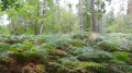
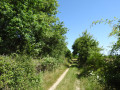
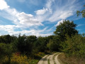
(2) Carry on straight ahead along the limestone-surfaced track towards the woods, where it becomes a track of earth and sand. Stay on the main track through the forest (ignoring the private tracks on either side) and keep left twice on the slight incline.
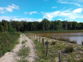
(3) Pass between two ponds. Stay on this main sandy track.
(4) At the junction after the pond and a short climb, turn left to follow the hunting trail and then enter a lovely forest track. At the end of the track, follow the road to the left.
(5) After 500 m along this road, turn right towards La Mariette.
(6) After 1 km along this small, shaded road, which continues onto a limestone track, veer left before the electricity substation. Keep going straight on along this track, which starts as a forest path and leads out into the open countryside.
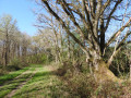
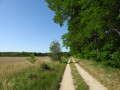
(7) When you reach a farm, carry on straight ahead along the hard-packed track. Cross the road and carry on straight ahead across the open countryside. At the end of the hard-packed track, cross the small road and carry on straight ahead along the grassy path sheltered by hedges and woodland.
(8) Cross the RD 951 straight across, taking care, and take Rue de la Lande, which is flanked by pavements, then turn left onto Rue des Moulins. At the junction, carry on straight ahead along Rue de Sologne, then turn left at the Fork in the road to reach Place du Bourg (S/E).
 Visorando Member

 Moderate