Country:

 City:
City:


In principle, the car park at the La Fischhutte hotel and restaurant is reserved for guests. It is therefore best to park at the start of the Chemin de la Fischhutte.
If it is very busy, you can park at (7) or (9) and start the route from these points.
(S/E) Cross the bridge over the Magel then follow the D204 towards Grendelbruch for about 400 m.
(1) Take the path leading uphill to the right. A sign points towards “Château du Guirbaden”. The path is marked with Red Cross symbols. The forest is privately owned but walking is permitted. The gradient is moderate. Continue this climb for a good half an hour until you reach a clearing.
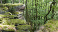
(2) Take the second path (multiple markings) leading uphill to the left. You can see some remarkable trees with enormous trunks. Then, on the left, there are the ruins of an old house, probably a former forester’s cottage. Continue up the slightly steeper, winding road.
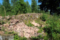
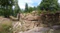
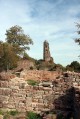
(3) Leave the multi-marked path and take the path branching off to the right. This takes you round the Château de Guibaden. There is also a sign saying ‘Around the Château’. You’ll arrive at the entrance to the château. Don’t forget to head up to the left to the Tour de la Faim and the chapel (indicated by a sign).
(4) Visit the castle; the exact entrance is signposted. In 2026, a large scaffolding structure is in place to facilitate restoration work on the keep. You’ll also pass a medieval garden. Then head back until you reach a junction.
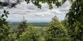
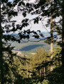
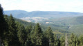
(5) Turn left onto the path marked with red-white-red Red Rectangles towards Grendelbruch. There is a short, slightly rockier section. You can also see nursery rhymes written on the trees. Continue to the Wolfsgrube Pass. Take a short detour to the right for a lovely view of the Oberhaslach area.
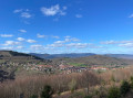
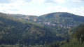
(6) Continue the walk westwards and soon leave the signposted path to take the path down to the left until you reach the D204. On the way, enjoy the view of Grendelbruch and, in the distance, the Hohbuhl.
(7) Cross the D204 carefully and walk back up this road for about a hundred metres until you reach the path leading down to the left.
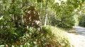
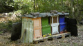
(8) Cross the bridge until you reach the tarmac-surfaced Chemin de la Fischhutte, signposted with the Blue Cross. Near the bridge, there may be beehives – watch out for bees. Walk past the menhir and head down the Chemin de la Fischhutte; the Magel is on your left.
(9) You will soon reach the car park (S/E).

 Visorando Member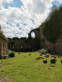
 Moderate