


 Country:
 City:
City:


Starting point: Les Genettes Town Hall. The car park is usually open and outdoor parking spaces are also available.
(S/E) Head to the crossroads and follow the sign for the D673 towards Les Giguères. On your left you’ll see the castle’s surrounding wall and on your right a meadow with Ouessant sheep.
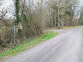
(1) On your left, take the grey gravel track, with a private pond on your left. Pass through the hamlet of Les Aulnes and continue straight on along the Voie Oubliée, which is closed to motorised vehicles. At the end of the track, you’ll have no choice but to turn right through the hamlet of Lerrie and join the RD930.
(2) Continue left along the D930 to the village of Les Aspres.
(3) Once past the church in Les Aspres, a small footpath opens up on your left: turn left, cross a municipal park and then the bridge over the Iton. At the end of the path, you’ll find the chemist’s on your right and the town hall on your left, housed in a former church building: continue 50 metres to the left.
(4) Turn right, following the sign for the D673 towards Auguaise. At the bend (crossroads), keep left.
(5) At the junction in the bend, leave the D673 and keep left towards Les Bourdinières. Pass the access road to La Chevalerie on your right and continue for about a hundred metres.
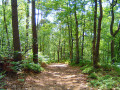
(6) Take the footpath and cycle path on your left and cross over the Vivier Tranchant stream. Carry on straight ahead until you reach a junction.
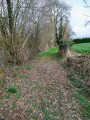
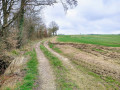
(7) Carry on straight ahead along a grassy path which leads onto another road. Then turn left to join the D28.
(8) Turn right, then cross carefully to the left, following the sign for “Les Genettes”. Head to the town hall car park (S/E).


 Visorando Member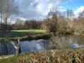

 Association / Club / Walk leader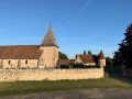
 Moderate
