Country:

 City:


Car park at the town hall in Saint-André-de-Najac (hiking sign at the bus stop).
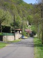
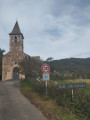
(S/E) With your back to the town hall, take Rue de l’Occitanie on the left and continue towards the church.
(1) Follow the road to the left (Chemin de l’Orée du Bois). A few dozen metres further on, leave the road and head down the municipal footpath on the left until you reach the D239.
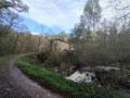
(2) Turn left onto Route de Lagarde Viaur and take the car park on the left (signposted ‘chemin communal’) towards the sewage treatment works. Walk past the treatment works and follow the dirt track to the left, cross a stone bridge, and walk through a wood until you reach a small crossroads. Carry on straight ahead and cross a field until you reach a small road (Route de Soulage). Drive past some lodges and past a small clearing.
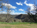
(3) Take Impasse de l’Archer, pass two houses, head down to the left along a path and continue across a large field until you reach a woodland. Go down a small track and then up a narrow path (communal track) on the right, running alongside a meadow.
(4) Join the departmental road (Route de Lagarde Viaur) and follow it to the right for a few dozen metres until you reach a cul-de-sac
(5) Turn left into Impasse des Près and head for the car park, after joining the Route de l’Occitanie once more as it passes through the village (S/E).
 Visorando Member
 Moderate