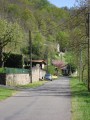
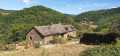
A short tour of the village of Saint-André-de-Najac

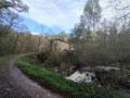
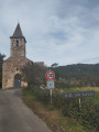
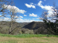
A short circular walk to explore the pretty village of Saint-André-de-Najac.

No signposting.

Details

n°66442115
Creation:
Last update:
Last review:
–
  • Walking
    Activity: Walking
  • ↔
    Distance: 1.52 mi
  • ◔
    Average duration: 0h 50 
  • ▲
    Difficulty: Easy

  • ⚐
    Back to start: Yes
  • ↗
    Ascent: + 138 ft
  • ↘
    Descent: - 141 ft

  • ▲
    Highest point: 1,339 ft
  • ▼
    Lowest point: 1,158 ft

Description of the walk

Park in the town hall car park.

(S/E) Walk down the road and, immediately after the town hall, turn right towards Lagarde-Viaur for about 400 metres.

(1) Turn right onto Chemin des Prés and follow it straight on until you reach the centre of the village. Turn left onto Rue de l’Autan and then left onto Chemin de l’Orée du Bois for about fifty metres.

(2) Turn right after No. 48 to follow Chemin des Violettes; this leads onto Route de l’Occitanie, then head up the left-hand side until you reach the junction with a cross (Croix de Bourdou) and a bench.

(3) Turn right, then right again a few metres further on to follow the Route de l’Oratoire.

(4) At the crossroads with a cross, continue along the road opposite, passing the cemetery and the Oratoire housing estate.

(5) Head downhill to the right along the Chemin de la Sablière, turn right again in front of the hotel and the post office, and return to the town hall car park (S/E).

Waypoints

  1. S/E : mi 0 - alt. 1,253 ft - Town hall car park
  2. 1 : mi 0.26 - alt. 1,158 ft - Chemin des Prés
  3. 2 : mi 0.49 - alt. 1,230 ft - Chemin des Violettes
  4. 3 : mi 0.78 - alt. 1,322 ft - Croix de Bourdou
  5. 4 : mi 1.1 - alt. 1,322 ft - Small crossroads
  6. 5 : mi 1.31 - alt. 1,266 ft - Chemin de la Sablière
  7. S/E : mi 1.52 - alt. 1,253 ft - Town hall car park

Notes

Access via the D922 from Villefranche-de-Rouergue or Laguépie.

Car park at the town hall in Saint-André-de-Najac. Additional parking available at the church.

Worth a visit

Other walks in the area

For more walks, use our search engine .

The GPS track and description are the property of this route's author. Please do not copy them without permission.