Country:

 City:
City:


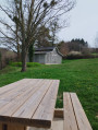

The starting point is in Néronde; park in the church square.
(S/E) Head towards the Grande Rue, turn left, then turn right onto Rue de la Magna Porta, pass under the pointed archway and you’ll find yourself in Place du Pilori. Head up to the left along Rue des Écoles for a few metres, then turn right onto Chemin du Petit Bois. Then turn left.
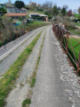
(1) When you reach a Fork in the road, turn left onto an old railway line: the Chemin du Tacot. At the end, turn right onto the Route de l’Ancienne Gare (D83). Carry on until you come to a dirt track on the right.
(2) Carry on along this track, heading south. You’ll reach the hamlet of Four, which is the junction for the circular route.
(3) Turn left, then immediately take the track on the right, without joining the road. Then turn left onto the Chemin de Loye, then right onto the Chemin de Bézin, and head towards the hamlet of Bézin.
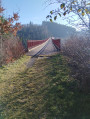
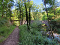
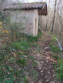
(4) Then turn left onto Impasse des Rameaux, then take the path on the right, Chez Bézin. When you reach the Route de Pouilly-lès-Feurs (D58), follow it to the right, walking carefully alongside it for a few metres. Then cross the road and follow the path on the left. Cross the footbridge. You will arrive at the Chapelle Saint-Marc.
(5) Continue along the path, downhill, to the right. At the end of the path, cross the footbridge, carefully cross the Route de Bussière (D58) and take the path directly opposite.
At the fork in the road, stay on the left-hand path going downhill, pass through the hamlet of Le Chatain and turn right onto the Chemin de Néronde. Pass through the hamlet of Le Garon and continue to the junction (elevation 501).
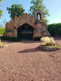
(6) Turn left onto the Chemin de la Tremblotte and continue straight on. At the junction before the D10, turn right, following the sign for Notre-Dame des Odiberts. After 80 metres, at the junction, keep left, then turn right onto the Chemin de la Chapelle and head towards the chapel.
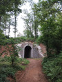
(7) Continue along the path, passing in front of the chapel, and carry on straight ahead through the woodland. You will come to a cross path.
(8) Turn left and head towards the Font du Cercle. Then, after a few houses, turn left, then take the dirt track on the right. At the junction, continue to the right, cross the Ruisseau Chamarron and rejoin a road.
(9) In Loye, turn left, walk past the château, and at the junction, carry on straight ahead along the Chemin de Chamaron until you reach the Tour Mondon, which is a dovecote.
(10) After this, turn right onto the Chemin de Chamaron.
(11) Pass through the hamlet of Chamaron and over the footbridge, then come out onto a road. Turn right onto it, then, after a few metres, turn onto the path that climbs to the left and head towards the hamlet of Four, which you passed on the way out.
(3) Turn left and, following the route in the opposite direction to the outward journey, head towards the (S/E).


 Visorando Member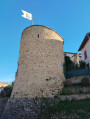

 Easy
Easy