Start near the church
Return via the same route (picnic benches at the playground near the hall)


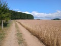
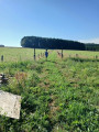
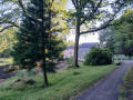
A circular walk starting from Naomé, which can easily be completed in 2 hours. The walk starts near the church, heading towards Opont. On reaching the pond, the route follows the GR®14 and takes the path that climbs to the right of the Douaire pond. The walk then continues along the GR®14 before leaving it shortly afterwards.


 Country:
Belgium
Country:
Belgium

 City:
Bièvre
City:
Bièvre 


Start near the church
Return via the same route (picnic benches at the playground near the hall)
In the heart of the southern Ardennes towards Naomé 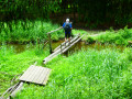 9.50 mi
+853 ft
-840 ft
5h 05
Moderate
9.50 mi
+853 ft
-840 ft
5h 05
Moderate
 Departure from Bièvre (Province de Namur)
From Carlsbourg to Paliseul (long version via Our)
Departure from Bièvre (Province de Namur)
From Carlsbourg to Paliseul (long version via Our) 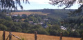 13.85 mi
+1,001 ft
-935 ft
7h 15
13.85 mi
+1,001 ft
-935 ft
7h 15
 Difficult
Departure from Paliseul (Province de Luxembourg)
Along the Our
Difficult
Departure from Paliseul (Province de Luxembourg)
Along the Our  11.62 mi
+817 ft
-843 ft
6h 05
Moderate
Departure from Paliseul (Province de Luxembourg)
Exploring the Graide Maquis
11.62 mi
+817 ft
-843 ft
6h 05
Moderate
Departure from Paliseul (Province de Luxembourg)
Exploring the Graide Maquis 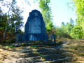 11.79 mi
+948 ft
-938 ft
6h 15
Moderate
Departure from Bièvre (Province de Namur)
Idyllic Ardennes from Graide
11.79 mi
+948 ft
-938 ft
6h 15
Moderate
Departure from Bièvre (Province de Namur)
Idyllic Ardennes from Graide 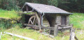 12.16 mi
+919 ft
-945 ft
6h 25
Difficult
Departure from Bièvre (Province de Namur)
Graide, Gedinne and Gaide 16.20 mi
+1,421 ft
-1,401 ft
8h 40
12.16 mi
+919 ft
-945 ft
6h 25
Difficult
Departure from Bièvre (Province de Namur)
Graide, Gedinne and Gaide 16.20 mi
+1,421 ft
-1,401 ft
8h 40
 Very difficult
Departure from Bièvre (Province de Namur)
Defoy educational trail
Very difficult
Departure from Bièvre (Province de Namur)
Defoy educational trail  0.90 mi
+95 ft
-95 ft
0h 30
0.90 mi
+95 ft
-95 ft
0h 30
 Easy
Departure from Paliseul (Province de Luxembourg)
Easy
Departure from Paliseul (Province de Luxembourg)
For more walks, use our search engine .
The GPS track and description are the property of this route's author. Please do not copy them without permission.
Scan this QR code with your smartphone's camera.
To open this route on your smartphone, you must have the Visorando app installed. If not, got to the Apple Store (iPhone) or Google Play Store (Android) to download the app.
 Visorando Member