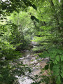
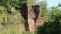
On the heights of Garavet in Allassac

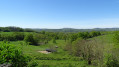
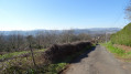
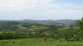
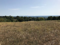
A short, easy walk in the hills above Garavet with some lovely views. The route follows only country lanes, so it’s very peaceful.

Details

21990891
Creation:
Last update:
Last review:
  • Walking
    Activity: Walking
  • ↔
    Distance: 3.58 mi
  • ◔
    Average duration: 2h 00 
  • ▲
    Difficulty: Easy

  • ⚐
    Back to start: Yes
  • ↗
    Ascent: + 410 ft
  • ↘
    Descent: - 410 ft

  • ▲
    Highest point: 764 ft
  • ▼
    Lowest point: 354 ft
  • ⚐ Country: France
  • ⚐ City: Allassac (19240)
  • ⚑
    Start/End: N 45.249226° / E 1.456244°
  • ❏
    IGN map(s): Ref. 2034E, 2134O
  • Hour-by-hour weather

Photos

Description of the walk

Park in the fairly large car park near the caravan site, just before the bridge over the Vézère.

(S/E) Cross the bridge and turn right onto the Route de la Garenne, towards Le Puy. The start of this walk follows the same route as theGR®46.

(1) At the crossroads, carry on straight ahead towards the Agudour drinking water pumping station.

(2) Do not turn right towards the pumping station; instead, continue straight up the hill until you reach a Fork in the road.

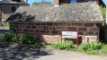
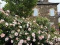
(3) At the bottom of the hamlet of Le Puy, turn right to walk through it. You can see a bread oven there. Continue through the hamlet, then as you head back down, at a Fork in the road, turn left and you’ll reach a T-junction.

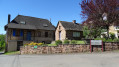
(4) Turn left towards Le Poulverel and head straight down to the hamlet of La Chapelle. This hamlet also has a bread oven and a beautiful chapel built entirely of stone.

(5) Turn left to follow the road down towards Garavet. On leaving the village, at the Fork in the road, turn right, staying on the main road. You’ll rejoin the route you started on.

(1) Turn right and retrace your steps along the route you took on the way there to return to the car park (S/E).

Waypoints

  1. S/E : mi 0 - alt. 354 ft - Car park before the bridge over the Vézère
  2. 1 : mi 0.24 - alt. 364 ft - Route de la Garenne, junction of the circular route
  3. 2 : mi 0.97 - alt. 400 ft - Crossroads, go straight on
  4. 3 : mi 1.21 - alt. 495 ft - Le Puy junction
  5. 4 : mi 1.76 - alt. 764 ft - Junction, on the right
  6. 5 : mi 2.75 - alt. 564 ft - La Chapelle hamlet
  7. S/E : mi 3.58 - alt. 354 ft - Car park before the bridge over the Vézère

Always be cautious and plan ahead when you're outdoors. Visorando and the author of this route cannot be held responsible for any accidents occurring on this route.

The GR® and PR® markings are the intellectual property of the Fédération Française de Randonnée Pédestre.

Reviews and comments

4 / 5
Based on 3 reviews

Reliability of the description
4 / 5
Ease of following the route
4 / 5
Route interest
4 / 5
isasar
isasar

Overall rating : 3.7 / 5

Date of your route : Feb 22, 2026
Reliability of the description : ★★★★☆ Good
Ease of following the route : ★★★★☆ Good
Route interest : ★★★☆☆ Average
Very busy route : No

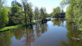
The advantage of this route is that it follows small roads, so there is no risk of slipping in the mud. Handy after all these days of rain. View of the Vézère river bursting its banks.

Machine-translated

User 27780312

Overall rating : 4 / 5

Date of your route : Oct 20, 2025
Reliability of the description : ★★★★☆ Good
Ease of following the route : ★★★★☆ Good
Route interest : ★★★★☆ Good
Very busy route : No

Hiking on roads but with beautiful views, especially in autumn.
Not as easy as it looks, with a steep climb up to Le Poulverel.

Machine-translated

Marguerite45
Marguerite45
• Edited:

Overall rating : 4.3 / 5

Date of your route : Apr 29, 2025
Reliability of the description : ★★★★☆ Good
Ease of following the route : ★★★★☆ Good
Route interest : ★★★★★ Very good
Very busy route : No

Although it’s a very pleasant road cycle route with some lovely views.

Machine-translated

Other walks in the area

For more walks, use our search engine .

The GPS track and description are the property of this route's author. Please do not copy them without permission.