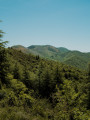
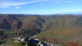
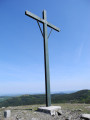
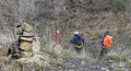
The summit of Peyreguille as seen from the hamlet of Le Coural in Avène

A short walk taking you up Mont Peyreguille, where the mobile phone mast is located, from the hamlet of Le Coural, situated a few kilometres above Avène. The walk offers views of mid-mountain landscapes; the first section is fairly shaded by the forest canopy.

Details

101946932
Creation:
Last update:
Last review:
  • Walking
    Activity: Walking
  • ↔
    Distance: 2.48 mi
  • ◔
    Average duration: 1h 50 
  • ▲
    Difficulty: Moderate

  • ⚐
    Back to start: Yes
  • ↗
    Ascent: + 774 ft
  • ↘
    Descent: - 774 ft

  • ▲
    Highest point: 2,287 ft
  • ▼
    Lowest point: 1,512 ft

Description of the walk

Setting off from the hamlet of Le Coural, you can park at the bottom near the rubbish bins.

(S/E) Walk through the small village via the narrow streets and steps to reach the village exit, then take the road (D163E2) on the right. Pass the road sign indicating the entrance/exit to the hamlet and follow the road, walking along the verge which runs alongside the olive trees planted above you. Continue to the third bend.

(1) Look out for the start of a path on the right. The path is quite inconspicuous, slightly elevated and narrow at the start. Follow it uphill through the mountainside to a junction of forest tracks near a water tank. Be careful, as it is quite narrow.

(2) Continue straight up the Piste de la Peyreguille and reach a hairpin bend on this track.

(3) Turn right and head for the summit of La Peyreguille, where the mast is located.

(4) After a break, begin the descent via the same route back down to the hamlet of Le Coural (S/E).

Waypoints

  1. S/E : mi 0 - alt. 1,512 ft - Le Coural hamlet
  2. 1 : mi 0.32 - alt. 1,670 ft - Junction
  3. 2 : mi 0.79 - alt. 2,057 ft - Crossroads of paths near a cistern
  4. 3 : mi 1.1 - alt. 2,208 ft - Hairpin bend
  5. 4 : mi 1.24 - alt. 2,287 ft - Summit and antenna
  6. S/E : mi 2.48 - alt. 1,512 ft - Le Coural hamlet

Worth a visit

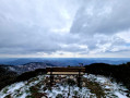
(4) Lovely view of the surrounding valleys from the summit of the mountain, near the orientation table and the small bench.

Other walks in the area

For more walks, use our search engine .

The GPS track and description are the property of this route's author. Please do not copy them without permission.