Country:

 City:
City:


The starting point is at 3022 Route du Caire in Tourrettes-sur-Loup (the address is recognised by car sat-navs).
(S/E) Atthe start, at marker 175a, head straight along the road (which is still tarmac) towards Saint-Barnabé. After a 5-minute walk, the road becomes a path. When you reachmarker 176 (not shown on the map), continue towards Saint-Barnabé along the well-marked path, first through woodland and then out into the open.
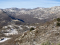
(1) Atmarker 176 (clearly shown on the map), turn left onto a distinct path that climbs gently towards the Puy de Tourettes. The summit of the Puy is nicely rounded and offers a fine view.
(2) Retrace your steps to reach a junction a short distance from the summit (around 100 m). Then take the path descending to the right towards the Pic des Courmettes, which is clearly visible with its distinctive summit cliffs.
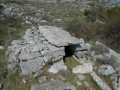
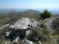
(3) As you begin the ascent towards the peak, look out for the remains of a drystone shelter on the left.
At this point, you have a choice:
– to make a round trip to the summit (the option chosen for this walk),
– or to begin the return journey.
Continue straight on to reach the Pic des Courmettes.
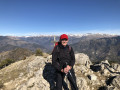
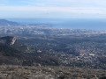
(4) The summit is marked by a large circle of stones piled up to a height of almost 1 metre, offering a magnificent 360° view of the peaks of the Mercantour, the Baous, the coastline from Menton to the Estérel, and the hilltop villages overlooking the Loup Valley (Gourdon, Cipières and Gréolières). Descend via the same route as the ascent.
(3) Head down due east. Caution: off the beaten track – follow the GPS track and stay well to the right-hand side of the valley, keeping the Villeneuve-Loubet marinas in sight. At the bottom, where the valley narrows, you’ll come across a track that takes you down the lower part of the valley’s left-hand slope.The track becomes increasingly distinct and descends to an old quarry. At the exit, you’ll come to a wide track.
(5) At marker 179, keep left on the main track, heading east, until you reach marker 175a (S/E).

 Visorando Member

 Easy
Easy